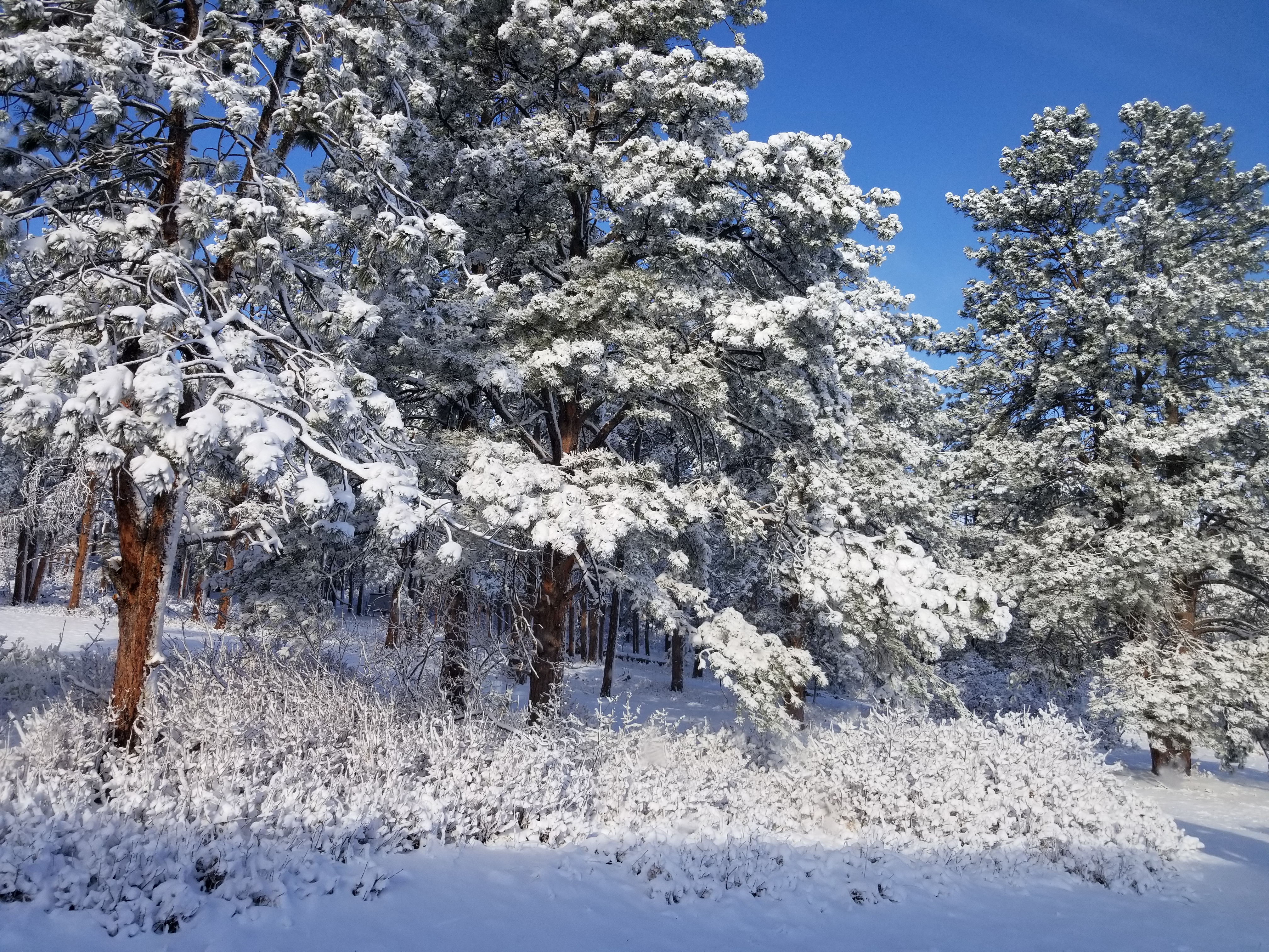
A late Winter snowstorm bought some much-needed moisture to the state on Sunday.
Some Coloradans woke up to more than a foot of snow, while others only saw a few inches.
The heaviest snow totals were reported south and west of Denver. Cities in northern Colorado hardly saw any accumulation.
RELATED| Show us your snow photos!
9NEWS meteorologist Becky Ditchfield says a few wrap-around snow bands could return to the northern mountains Monday afternoon, with an additional inch of accumulation.
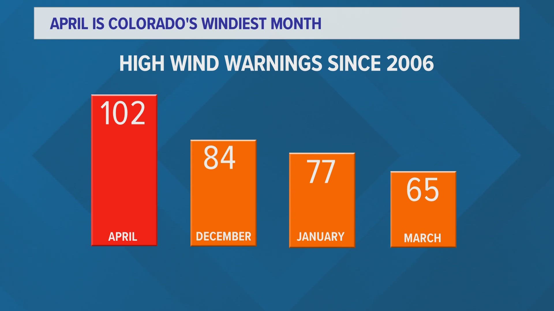
For Monday, expect cold temperatures, mostly cloudy skies and gusty winds.
Here’s a look at snow totals from the National Weather Service:
- Evergreen 6.8”
- Franktown 12.5”
- Winter Park 10.6”
- Jamestown 11.2'
- Parker 12.1”
- Denver 2.4"
- Castle Rock 10.5”
- Elizabeth 10”
- Conifer 8.3”
- Littleton 7.5”
- Highlands Ranch 7”
- Aurora 5.8”
- Northglenn 5.8”
- Steamboat Springs 6.2”
- Lone Tree 5.5”
- Vail 4”
- Broomfield 5.4”
- Monarch Pass 4"
- Centennial 5”
- Crested Butte 5.5”
- Eldorado Springs 5”
- Estes Park 4”
- Nederland 4”
- Larkspur 4”
- Federal Heights 5
- Wheat Ridge 3.3”
- Thornton 3.2”
- Georgetown 2.4”
- Lafayette 2”
- Louisville 3.8”
- Boulder 4”
- Brighton 1”
We’ll update this list with the newest totals as they come in.