
COLORADO, USA — The Colorado Redistricting Commission has less than a month to submit their Congressional and State Legislative maps to the Colorado Supreme Court. One community adds in a map of their own.
Redistricting happens every ten years with updated Census data and can change the political power balance across the state, with the last report coming out Thursday.
The commissions used 2015-2019 data from the Census' American Community Survey and Census mapping files and demographic data at the county and municipal level from the State Demography Office. They expect to make changes to the maps based on the new Census data and public input from the community.
After reviewing the first draft of state redistricting maps, the Colorado Latino Leadership, Advocacy, & Research Organization (CLLARO) was immediately concerned.
"My thoughts were that they had ignored part of the Constitution," said Mike Cortes, CLLARO's executive director. "The Constitution as it was amended in 2018, requires that communities of interest be given equal consideration with keeping city county, municipal borders in tact."
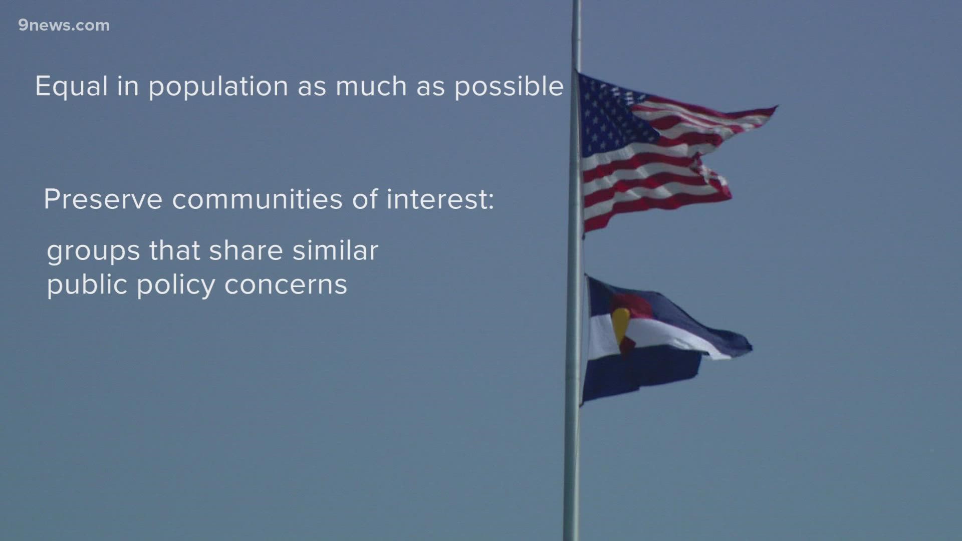
'Communities of interest' are considered groups in Colorado that share one or more public policy concerns urban, rural, agricultural, industrial, or trade areas, as well as concerns surrounding, but not limited to: education, employment, environmental, public health, transportation, water needs and supplies, and issued of demonstrable regional significance.
CLLARO was mainly concerned with the way the preliminary maps divided communities. "It just didn’t recognize the many different Latino communities of interest around the state," he said. "The way the lines are drawn, it reduces our voting power."
People can read the Constitutional Provisions for the Colorado Independent Congressional Redistricting Commission here.
CLLARO announced Tuesday they had submitted their maps for the redistricting commission to consider.
When redrawing the lines, Cortes said their map created more districts with higher concentrations of the state's second-largest ethnic group: 16 of the proposed 65 House Districts with a Hispanic/Latino population of 30% or more and 10 of the proposed 35 districts across the state with the 30% or more Hispanics and Latinos.
"It gives you a better sense of the representation we’re entitled to," Cortes said.
By our 9NEWS analysis based on the 2011 redistricting maps, we found 15 House Districts had a 30% or higher Hispanic/Latino population. Current drafts fail to meet the needs of unique Latino communities across the state, CLLARO said.
"Latinos are not one community in Colorado, they have several communities," Cortes said. "There’s different things going on up in the mountains, in the ski areas compared to what’s going on in the San Luis Valley, compared to what’s going on with gentrification in Denver, compared to what’s going on in immigrant communities in Adams county, compared to what’s going on up North."
Alex Apodaca-Cobell, the map architect for CLLARO, said in the process of redrawing, they found that "preserving existing communities instead of dividing them drew us into compliance with all the other criteria outlined for the commission: adherence to the Voting Rights Act, contiguity, political boundaries, compactness and competitiveness."
"It’s very important to keep these historic neighborhoods together, as well as to give voice to Globeville, Elyria-Swansea," said Apodaca-Cobell. "Bad air quality affects us all and the people who bear the brunt of it every day deserve to have their voice in the state house."
Staff director for the Colorado Redistricting Commission, Jessika Shipley, said they would continue to collect public input on the maps through the end of September. "I want to let people know that they should really get involved because there is so much we don't about some communities, and we want to learn more," said Shipley.
Plans must be approved by the Colorado Supreme Court no later than December 15, 2021, for congressional maps and December 29, 2021, for legislative maps.
SUGGESTED VIDEOS: Latest from 9NEWS