
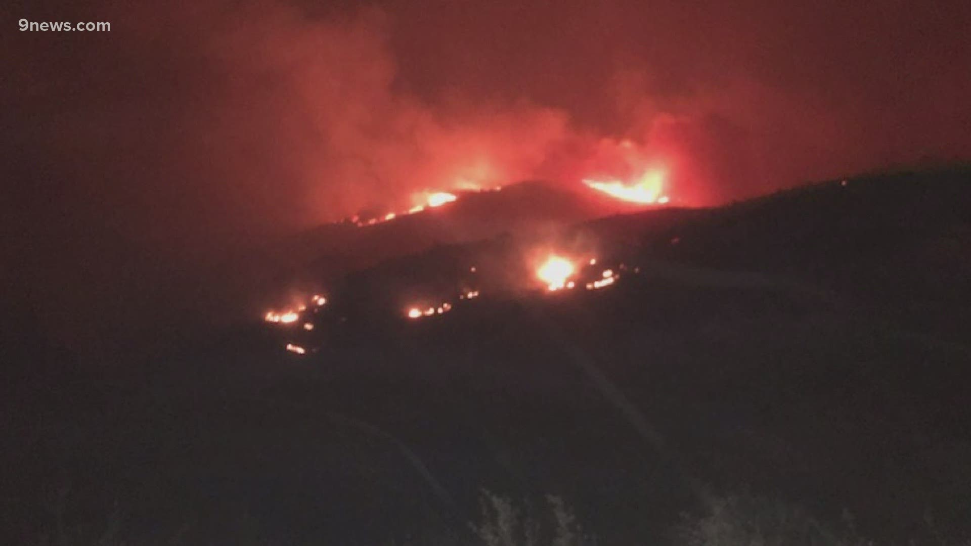
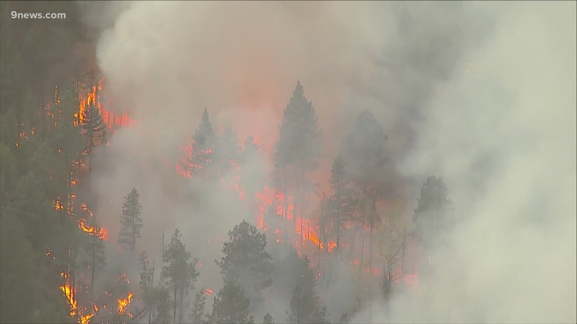
LARIMER COUNTY, Colo. — The Cameron Peak Fire continues to burn in Larimer County.
The fire has consumed 208,663 acres as of Sunday, Oct. 25. It is the largest fire in Colorado's history.
Containment on the Cameron Peak Fire has increased to 64%.
The fire has been burning for more than two months now.
There are just over 1,864 people fighting the fire in some capacity as of Monday.
A weather shift brought moist cold air across the Cameron Peak Fire Thursday night which helped crews add more containment lines on the eastern and southern portions of the fire.
>Video above: A Larimer County man uses a garden hose to save his home from the Cameron Peak Fire
Some evacuation orders were lifted Oct. 22. They include:
- Pinewood Reservoir to Flatiron Reservoir
- Glade Road on both the north and south sides of Mildred lane to the Devil's Backbone and south to US 34
- The Masonville Area south of County Road 38E from the east side of County Road 27 south to County Road 38E from the east side of County Road 27 south to US 34
- Horsetooth Mountain Park east to Rim Rock Valley Lane, County Road 52E (Rist Canyon Road) from just east of County Road 27 to County Road 27E.
The Colorado Department of Transportation (CDOT) announced on Saturday that Colorado Highway 14 has been reopened between Fort Collins and Walden after a two-month closure.
CDOT says fire activity has diminished in the area, but crews still need to clear debris from the shoulders, along with other work to prepare the road for winter snow season.
Travelers are strongly encouraged by CDOT to avoid the road unless necessary, and said that all forest land accessible from CO 14 are closed due to fire danger.
The Cameron Peak Fire has cost $93.8 million to fight as of Thursday and is the largest wildfire in Colorado's recorded history after a surge east last week.
Larimer County Sheriff Justin Smith said this feels "like a turning point" and "the last 48 hours have been very good," referring to little growth in the fire.
Earlier this week, active fire conditions led firefighters to pull back from a particularly active section of the fire for their own safety, according to the U.S. Forest Service. Those firefighters have been able to return to the area.

Damage
Structure damage has been reported in several areas including:
- Along Colorado Highway 14 corridor
- Manhattan Road
- Boy Scout Ranch Road
- Redstone Canyon area
- Stringtown Gulch
- Moondance Way
- Buckhorn Road
- Pingree Park Road
Details on damage and access can be found at larimer.org/cameron-peak-fire.
The Larimer County Joint Information Center is available at 970-980-2500 to provide information about evacuations, road closures, property assessments, credentials and large and small animal shelters.
Sign up for Larimer County Emergency Alerts: nocoalert.org
The Cameron Peak Fire broke out on Aug. 13.
Officials said the cause of the fire is still under investigation.
SUGGESTED VIDEOS: Wildfires in Colorado