
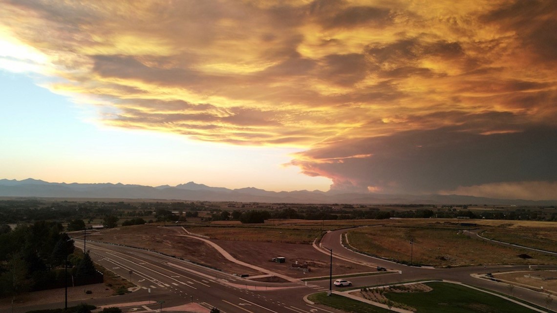
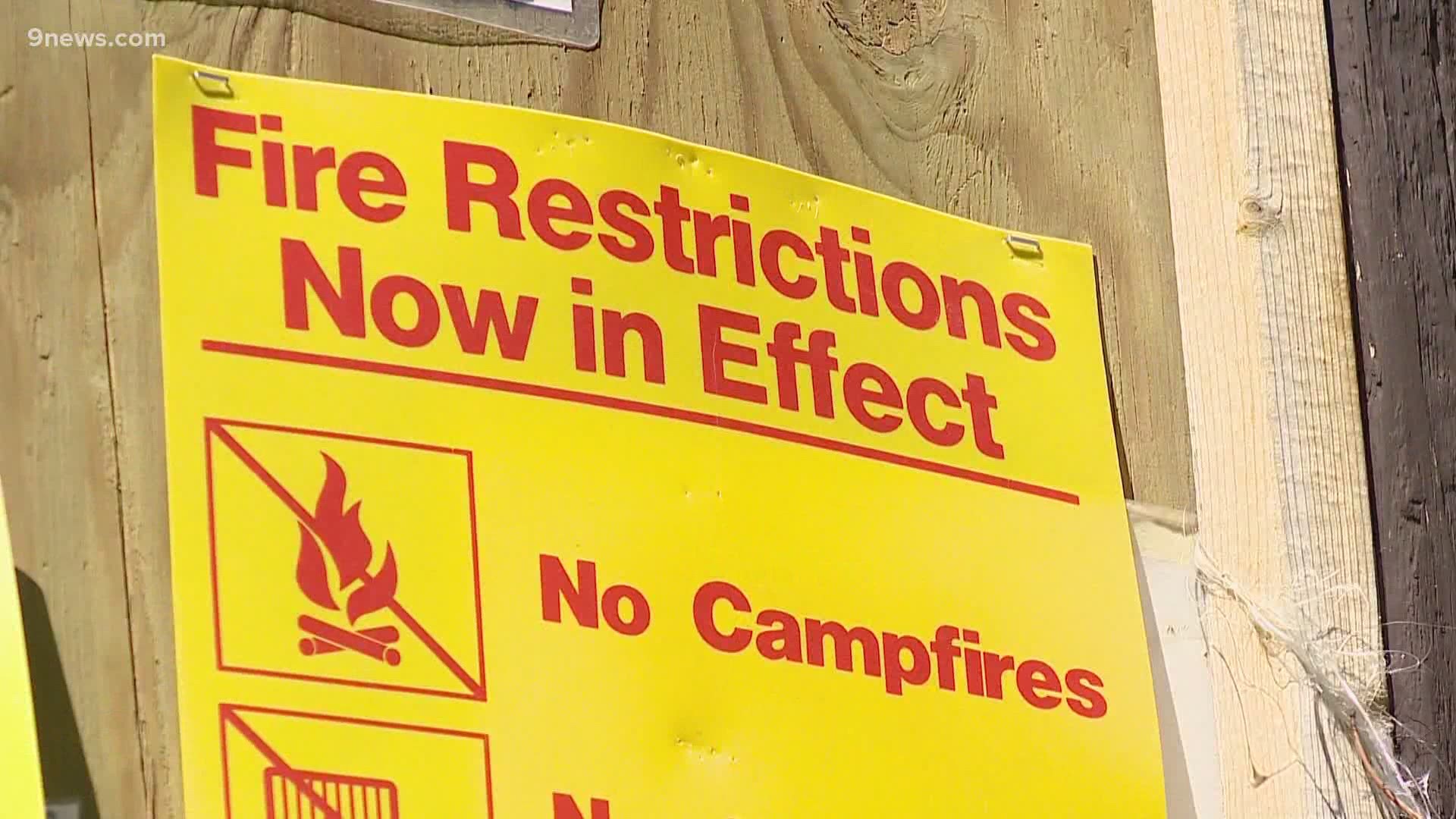
DENVER — With several major wildfires burning in our state and extremely dry conditions, Gov. Jared Polis (D-Colorado) announced a statewide fire ban on Aug. 18.
A new article on current wildfires was published on Oct. 19. This article is no longer being updated.
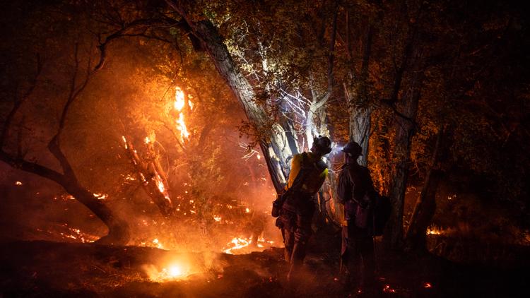
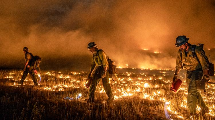
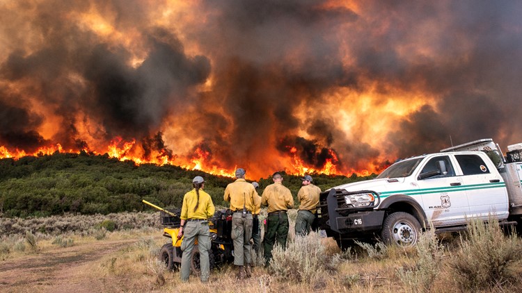
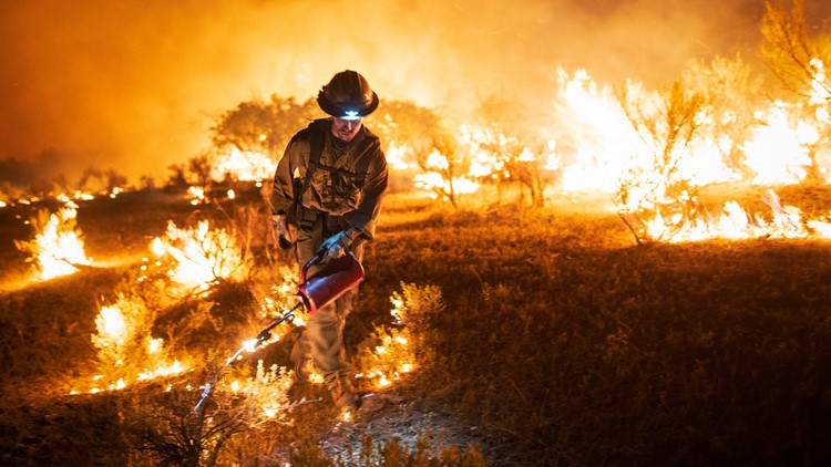
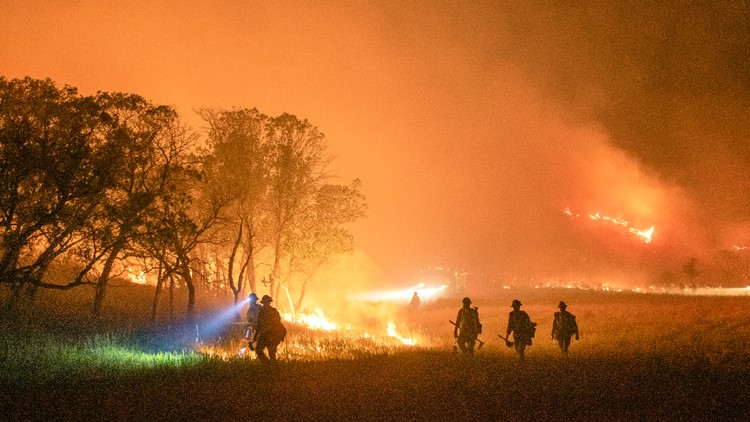
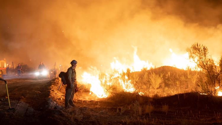
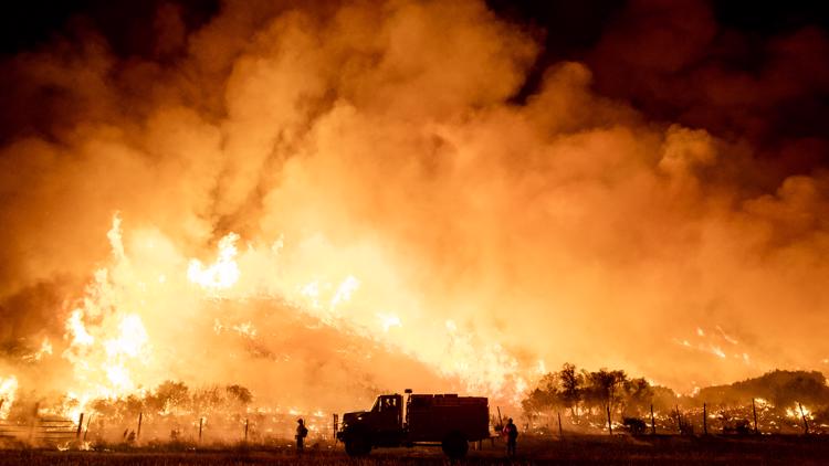
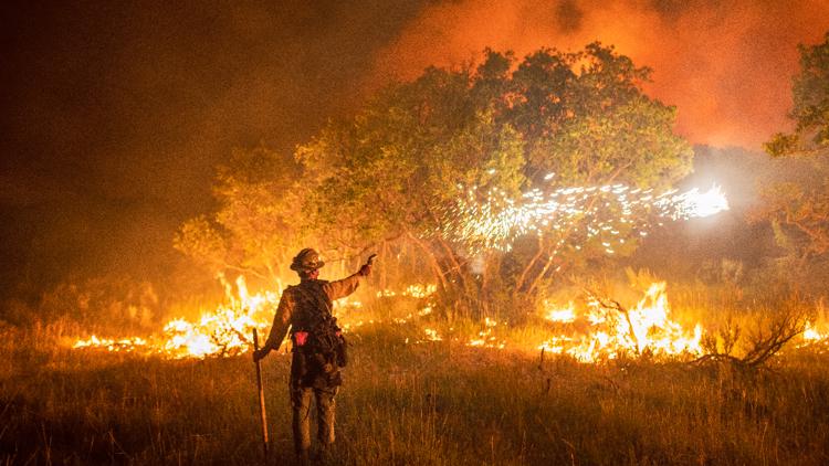
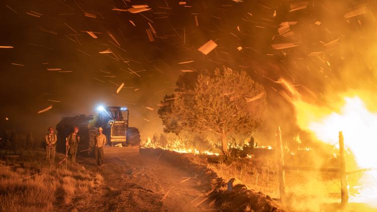
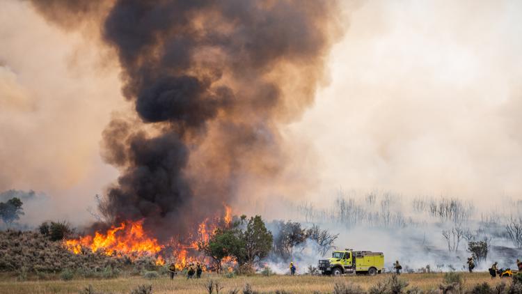
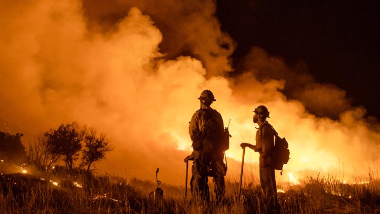
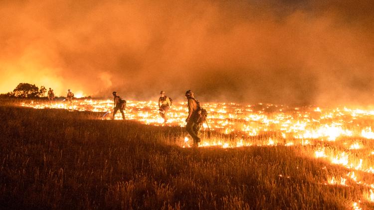
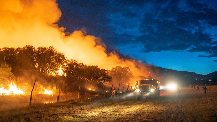
Below is a list of all the large fire currently burning in our state.

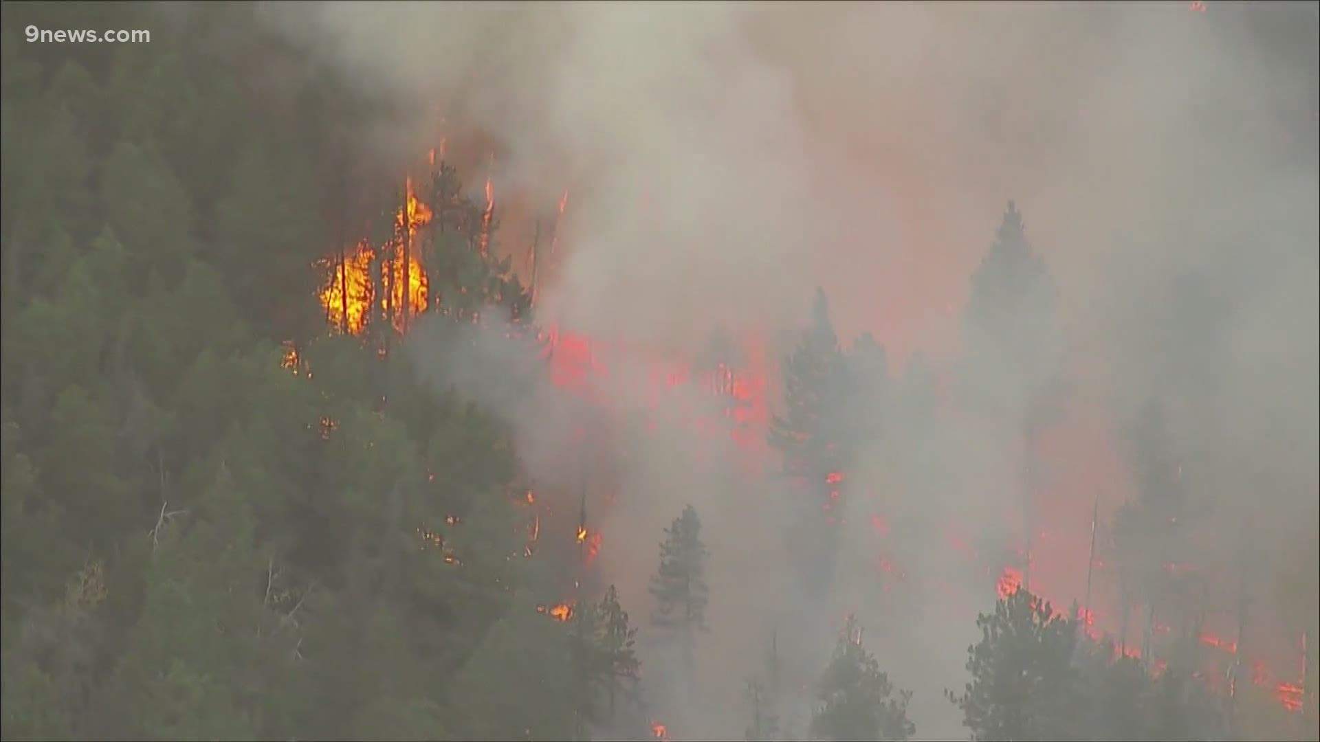
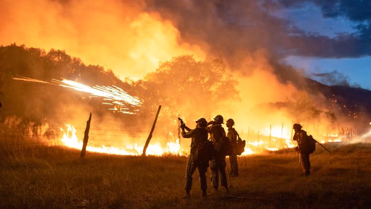
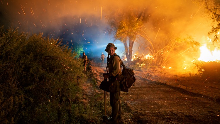
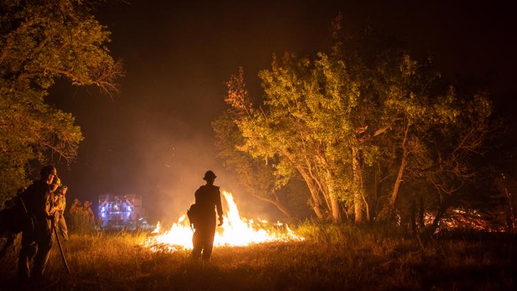
Cameron Peak Fire
Size: 102,596 acres
Containment: 4%
Location: 25 miles east of Walden and 15 miles southwest of Red Feather Lakes near Cameron Pass
Date reported: Aug. 13
Evacuations:
Mandatory evacuations ordered on Monday are:
- Red Feather and Crystal Lakes
- Lady Moon and Red Feather Highlands areas in Red Feather
- Glacier View filings, including the areas of Mount Simon, Green Mountain Meadow and Drake Ranch.
- From Stove Prairie Landing south on County Road 27 to County Road 44H and east to include Stratton Park.
- Highway 14 from Kelly Flats to Stove Prairie Landing.
- County Road 27 from County Road 44H south to Big Bear Road
- All of County Road 52E (Rist Canyon Road) to include Davis Ranch Road, Whale Rock Road and west to County Road 27E
On Saturday, Sept. 5, mandatory evacuations were ordered for residents and businesses along Highway 14 from the Poudre River fish hatchery east to Kelly Flats.
Mandatory evacuations were also ordered for the area around Pingree Park Road from Highway 14 south to the housing district east of the Colorado State University Mountain Campus.
Voluntary evacuations were issued for Crystal Lakes, Red Feather Lakes and the west side of the Manhattan Road from County Road 74E down to Highway 14.
The Red Cross opened an evacuation center Sunday at Cache La Poudre Middle School at 3515 W. County Road 54g in Laporte.
Details: The Cameron Peak fire ignited on Aug. 13 on the Arapaho and Roosevelt National Forests near Cameron Pass and Chambers Lake. It is burning in heavy timber stands over rugged terrain. Hot, dry, windy weather, combined with critically dry fuels has been driving rapid fire growth.

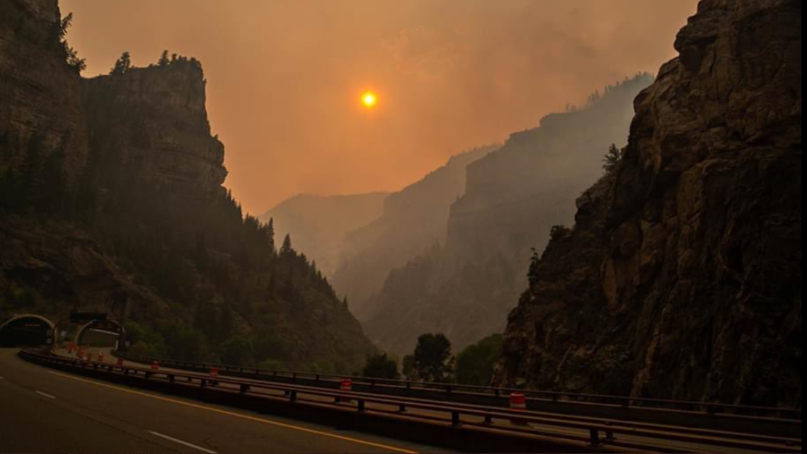
Grizzly Creek Fire
Size: 32,464 acres
Containment: 91%
Location: Glenwood Canyon
Date reported: Aug. 10
Evacuations: Pre-evacuation orders for the areas of Coulture Creek and Buck Point Drive have been lifted as of noon on Sept. 2. There are no other pre-evacuation orders in place for Eagle County.
Details: The Grizzly Creek Fire is burning in the canyon east of Glenwood Springs.
Firefighters are focusing their efforts on the No Name and Grizzly Creek drainages on the northwest edge of the fire, as well as the southern perimeter near Green Lake, which remain the two biggest challenges for fire managers.
The fire led to a record-long 2-week closure of Interstate 70 through that area between Glenwood Springs and Gypsum, before the highway reopened.
PHOTOS: Pine Gulch Fire in western Colorado


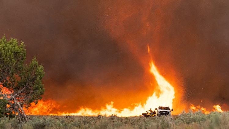


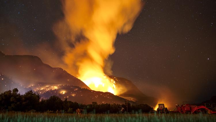

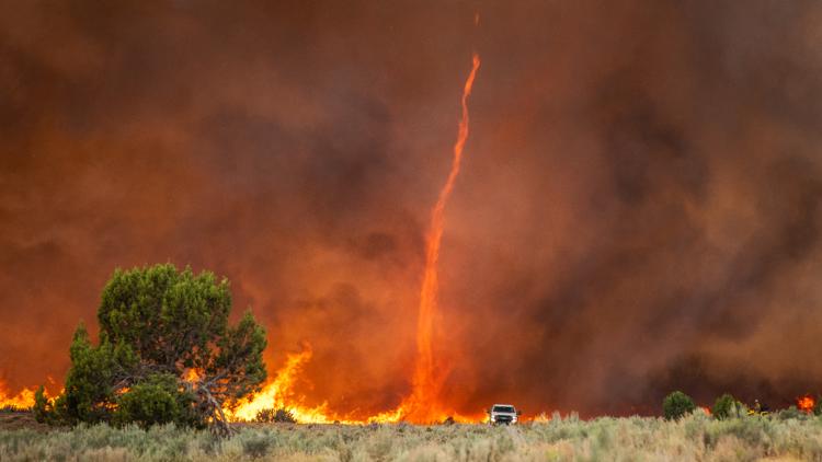


Pine Gulch Fire
Size: 139,007 acres
Containment: 95%
Location: 18 miles north of Grand Junction
Date reported: July 31
Evacuations: Evacuations and pre-evacuations are changing in Garfield County as fire activity decreases. Go to: garfield-county.com and scroll down to the “evacuations” tab for the most recent updates.
There are currently no pre-evacuations or evacuations in Mesa County: sheriff.mesacounty.us/FireInformation.
Details: The Pine Gulch Fire is the largest fire in Colorado history. It is located in Mesa and Garfield Counties, approximately 18 miles north of Grand Junction, Colorado and was sparked by lightning. The fire is burning in remote, rough terrain, in pinyon, juniper, oak and sage rush.
Crews and equipment are beginning to be released as the fire nears full containment.

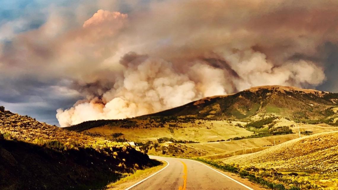
Williams Fork Fire
Size: 12,157 acres
Containment: 10%
Location: Near Hot Sulphur Springs on County Road 30 south of Williams Fork Reservoir.
Date reported: Aug. 14
Evacuations: The Williams Fork Fire Pre-Plan Map for pre-planning and preparation purposes is available for public use. There are no standing evacuation orders for residential areas, including the Fraser Valley. For the most current information and to sign up for CodeRED Emergency Notifications please go to gcemergency.com.
Details: The Williams Fork fire is burning in the Arapaho and Roosevelt National Forests seven miles southwest of Fraser.
The human-caused fire started near the Henderson Mill on Aug. 14 and quickly grew due to high winds and steep slopes. Very hot, dry and windy conditions allowed the fire to race through the timbered crowns of the Lodgepole Pine, fir and aspen forest.
Middle Fork Fire
Size: 3,522 acres
Location: Middle Fork of Mad Creek in the Mount Zirkel Wilderness on Routt National Forest land, about 10 miles north of Steamboat Springs.
Date reported: Sept. 7
Evacuations: None.
East Fork Fire
Size: 1,680 acres
Containment: 60%
Location: Near Las Animas County at the New Mexico/Colorado border
Date reported: Aug. 22
Evacuations: None. No threat to homes or infrastructure.
Willis Creek Fire
Size: 16 acres
Containment: 100%
Location: Near San Isabel, south of Bishop's Castle
Date reported: Aug. 25
Thorpe Fire
Size: 159 acres
Containment: 100%
Location: Park County, South Park Ranger District, off FSR 230 and Park County Road, west of Lake George and two miles southwest of Tarryall.
Date reported: Aug. 23
Evacuations: None
Lewstone Fire
Size: 168 acres
Containment: 100%
Location: Between Highway 14 and Rist Canyon Road, about 3 1/2 miles west of U.S. 287 in Larimer County
Date reported: Aug. 22
Evacuations: All have been lifted as of Tuesday, Aug. 25.
Red Canyon Fire
Size: 30-40 acres
Containment: 100%
Location: Near Spring Valley which is located about 8 miles north of Carbondale and about 9 miles south of Glenwood Springs.
Date reported: Aug. 19
Evacuations: None, evacuations have been lifted
Coulter Fire
Size: 28 acres
Containment: 30%
Location: Nine miles north of Rifle Gap Reservoir in the White River National Forest.
Date reported: Aug. 25
Evacuations: None.
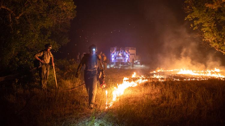
Details: Fire crews responded to the lightning-ignited fire on Tuesday, Aug. 25 following a thunderstorm that moved through the area. They were able to stop the fire from actively spreading.
Stull Mountain Fire
Size: .65 acres
Containment: 100%
Location: In Custer County three miles north of McKenzie Junction, west of Wetmore, Colorado.
Date reported: Aug. 18
Evacuations: None
Details: Two Forest Service engines and one squad were ordered to battle this remote fire, along with one airtanker. Lightning sparked the fire, according to the U.S. Forest Service.
Grape Creek Fire
Size: 1 acre
Containment: 100%
Location: Two miles southeast of Florissant in Park County.
Date reported: Aug. 18
Evacuations: None
Details: Two Forest Service engines and one squad were called to battle this lightning-caused fire, which is burning in Ponderosa and tall grass.
Goose Creek Fire
Size: 171 acres
Containment: 85%
Location: 13 miles south of Creede.
Date reported: June 28
Evacuations: None
Details: Rain has helped firefighters get a handle on this blaze, though pockets of heat will likely persist for the foreseeable future. A crew of six firefighters are on the scene to take care of potential flareups.
SUGGESTED VIDEOS: Colorado wildfires