
COLORADO, USA — Fire crews are battling a number of blazes around Colorado. The fires are burning around the state from far northwestern Colorado to the Western Slope and in north-central Colorado.
>Video above: The Eagle Valley Wildland Team brings together agencies from across the area to train to fight wildfires like the Sylvan Fire.
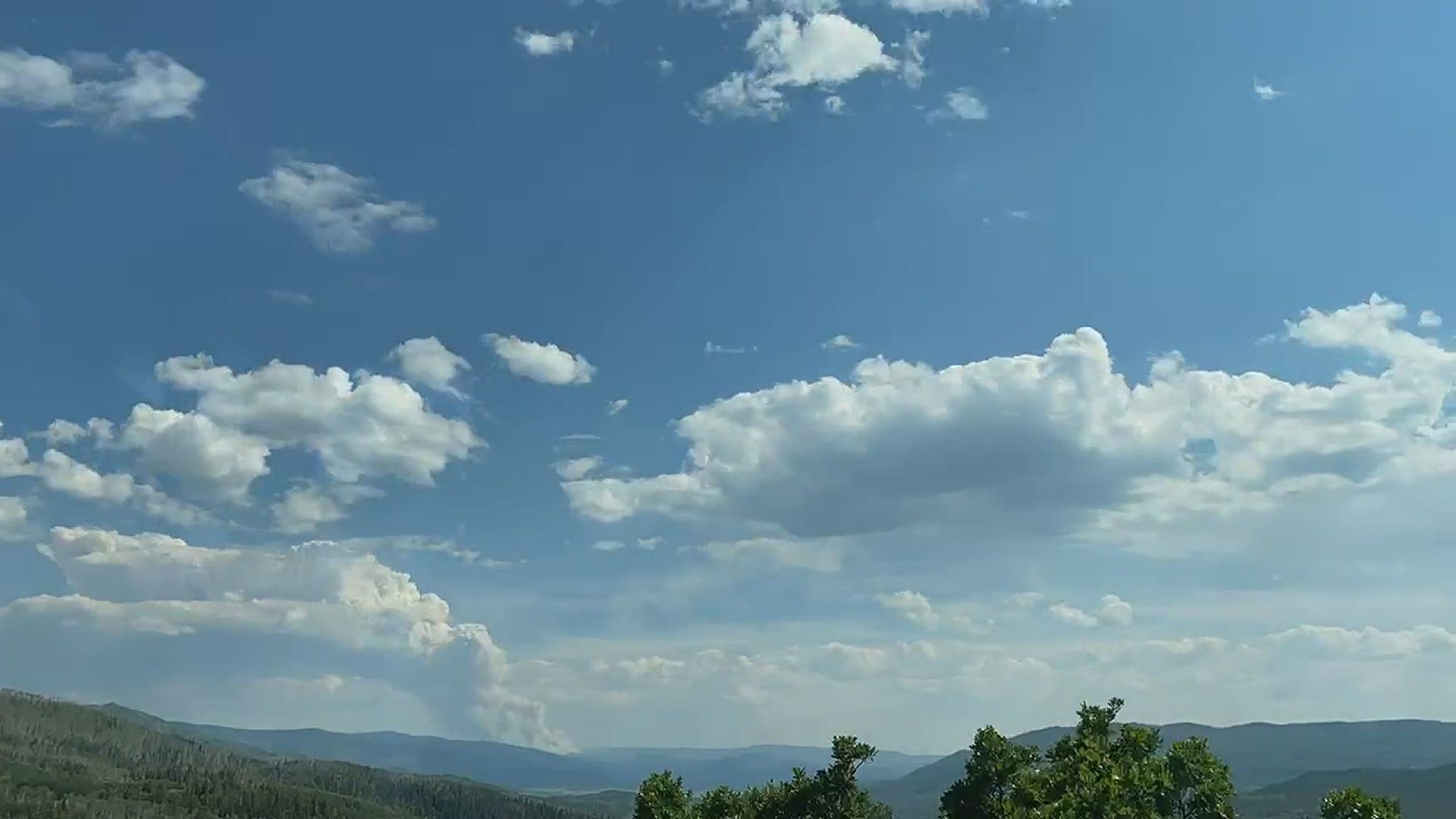
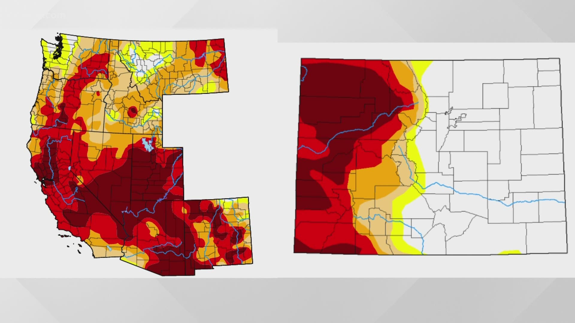
Some of the fires got some welcome rain Thursday, but fire managers said the relief may be short-lived as warmer, drier conditions are being forecast for next week.
To check for the latest air quality advisories, go to the Colorado Department of Public Health and Environment's site.
The roundup of the fires burning are below.
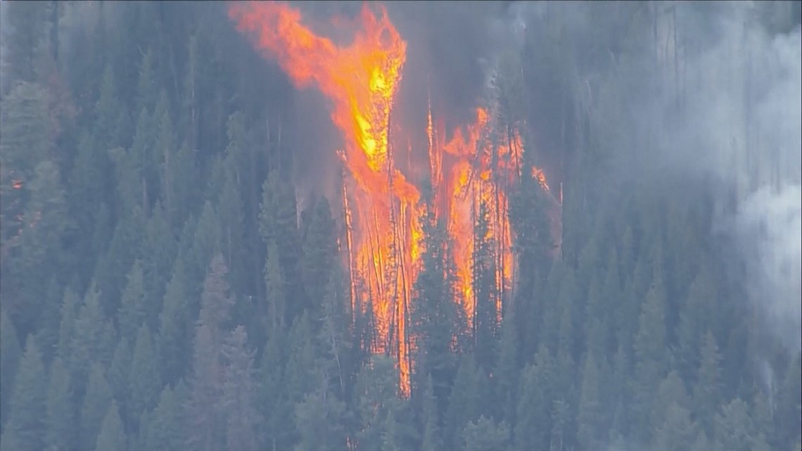
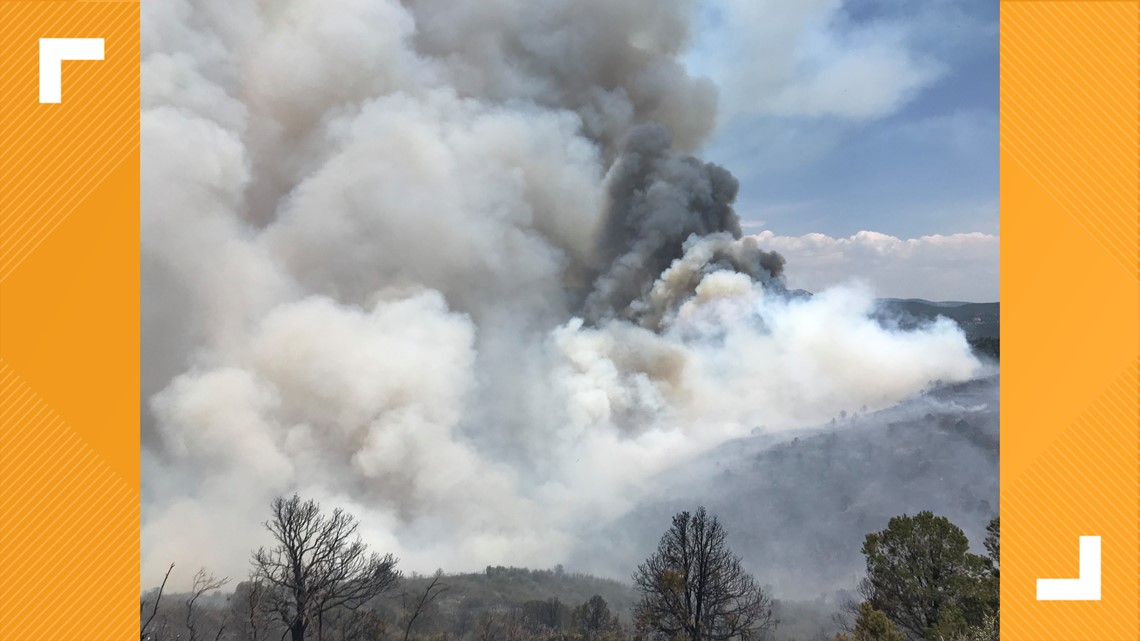
Sylvan Fire

Size: 3,775 acres
Location: 16 miles south of Eagle
Containment: 10%
Cause: Suspected lightning, but still being investigated
The Sylvan Fire was reported on Sunday, June 20 about 3:15 p.m.
The fire, which is burning in lodgepole pine and other timber, grew rapidly Tuesday afternoon and evening, forcing Eagle County officials to call for evacuations for a number of areas. They are:
- Sylvan Lake State Park
- Crooked Creek Pass
- Lede Reservoir area
- Hardscrabble
- Peter Estin Hut
Pre-evacuation notices have been ordered for residents in the areas of:
- Frost Creek
- Salt Creek
- Bruce Creek
- Fulford
- Yeoman Park
- Hat Creek
In Pitkin County, officials said residents in the upper Frying Pan Valley with livestock needed to evacuate their animals. Click here to see where livestock can be taken.
Another 0.3" of rain fell over the fire area in the past 24 hours, the incident command team said Sunday. The wet weather helped firefighters make good process on building firelines, but slippery conditions have increased safety concerns. No serious injuries have occurred.
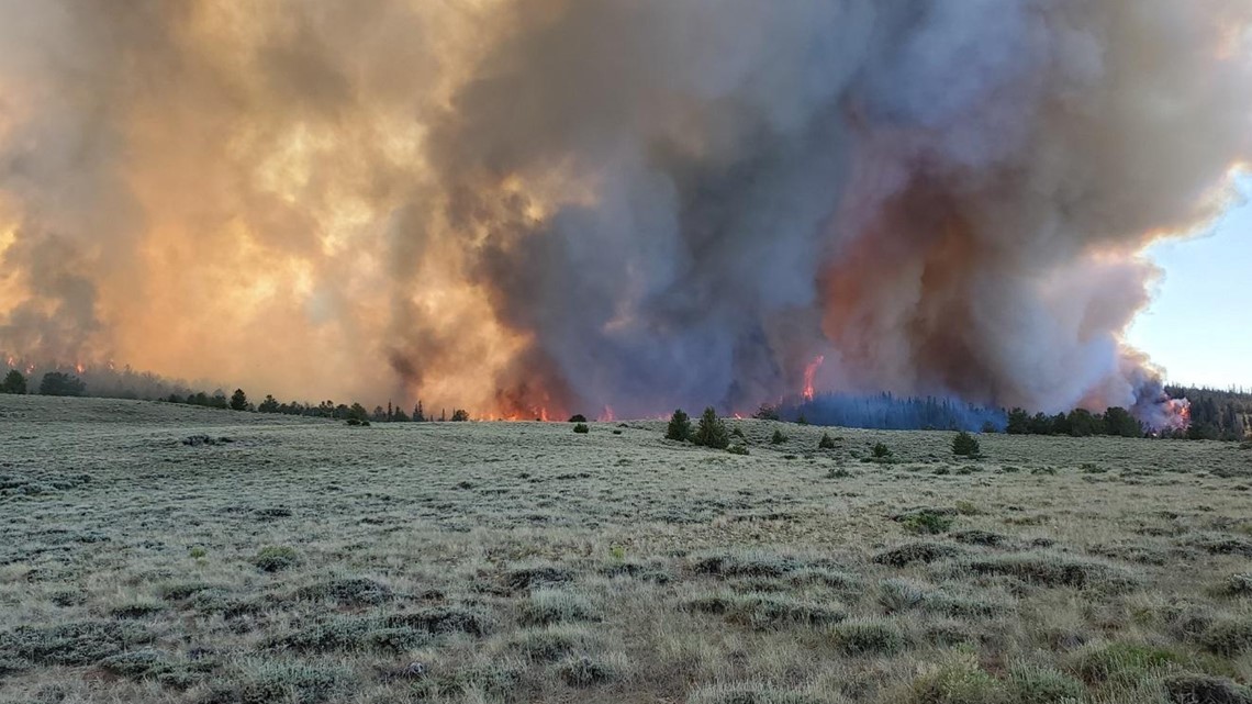
Muddy Slide Fire
Size: 4,093 acres
Location: 20 miles west of Kremmling
Containment: 0%
Cause: Unknown
The Muddy Slide Fire was first reported on Sunday, June 20.
Scattered showers over the fire area kept fire behavior to a minimum on Saturday, according to the incident command team. Creeping and smoldering was seen in several areas within the fire perimeter, while heavy, dead fuels like logs continued to burn.
On Sunday, crews planned to continue building indirect fire lines and preparing for possible burnout operations later this week.
Mandatory and voluntary evacuation areas remained in place. Click here for a map of current evacuation notices.
Evacuated residents with livestock can take them to the Hayden Fairgrounds. People with pets can drop off their animals with the Routt County Humane Society in Steamboat Springs, but they need to call first to make sure someone is on site. The Humane Society's number is 970-879-1090.
Fire managers said this is expected to be a "long duration fire."
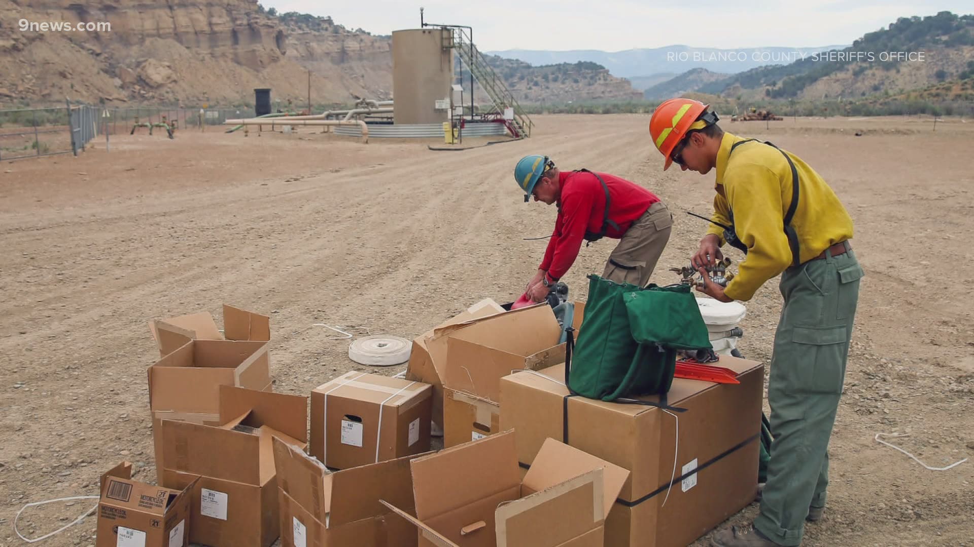
Oil Springs Fire

Size: 12,613
Location: 20 miles south of Rangely
Containment: 18%
Cause: Lightning
The Rio Blanco Sheriff's Office has lifted all of the evacuations related to this fire, and reopened County Roads 23, 103 and 122, and Highway 139.
Crews were able to access the fire safely despite muddy conditions after rainfall. Mop up continued along Highway 139 and at the fire's edge past West Creek drainage, as well as along County Road 116. Containment increased along the southern area of the fire.
More crews worked Saturday on the fire perimeter, securing containment lines. Continued protection of the Dragon Trail Compressor Site is a priority.
As of Friday morning, Stage 2 fire restrictions were put in place for Rio Blanco County.
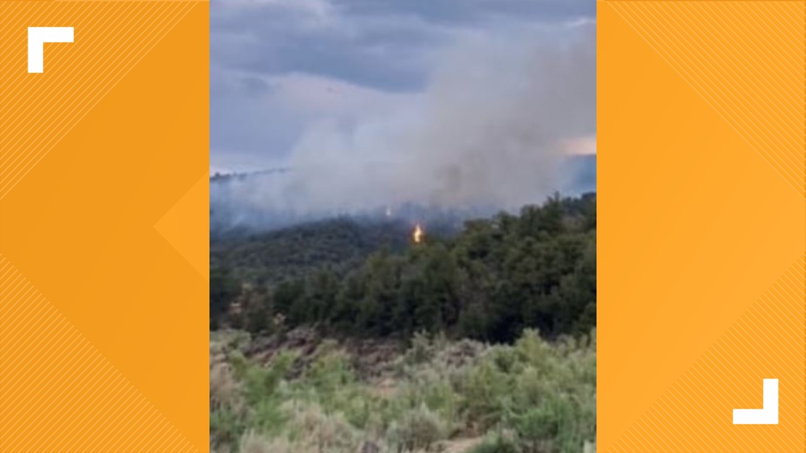
Wild Cow Fire

Size: 560 acres
Location: 38 miles north-northwest of Fruita
Containment: 73%
Cause: Lightning is suspected
The Wild Cow Fire was first reported Monday, June 21 at around 4:30 p.m.
The fire is burning in western Garfield County west of Highway 139 and just east of Baxter Pass.
Favorable weather has helped crews contain 73% of the Wild Cow Fire perimeter. Suppression actions, assisted by high humidity, cloud cover, and rain showers, held the fire at 560 acres.
West Fire

Size: 3,429 acres
Location: 80 miles northwest of Craig
Containment: 98%
Cause: Lightning
The West Fire was first reported on Sunday, June 20 just after noon.
The fire barely increased in size on Sunday, while containment remained at 98%. That was due to rainfall on Friday and Saturday.
On Sunday, crews planned to patrol and monitor established fire lines. Unburned fuels inside the containment lines were expected to smolder through the day, producing smoke. The Type 2 Incident Management Team will transfer command to a local Type 4 Incident Management Team at 6:30 a.m. Monday.
The BLM said Tuesday the fire had crossed into southwestern Wyoming.
>> Information on Colorado's drought season
SUGGESTED VIDEOS: Wildfires in Colorado