
COLORADO, USA — Weather conditions for the area where the Shawnee Peak Fire is burning will change Wednesday as the area goes under a Red Flag Warning.
That's different than Tuesday, where low temperatures and higher humidity levels helped with the Shawnee Peak Fire burning in Park County early this morning.
That fire has burned about 40 acres, roughly six miles west of the town of Bailey.
Regardless of cooler weather and a little more moisture, most of the state has seen high fire danger. The threat has been serious. A long stretch of days where no rain has fallen and temperatures have soared into the 90s have contributed to the elevated level.
A fire danger forecast is issued daily across the United States. The danger is ranked from low to extreme.
Land managers will use this information to determine what resources they need and how quickly they'll need them if a fire were to ignite in their area.
Below is a breakdown of fire danger levels and what they mean:
Low danger
Low danger means fire starts are unlikely. If a fire does start, it should be relatively easy to control with light mop up.
Moderate danger
Moderate danger means some wildfires may be expected. Control, however, is usually not difficult.
High danger
High danger means wildfires are likely. Fires that start in grasslands and weed fields will be difficult to control under windy conditions. Control will be difficult through direct attack, but possible.
Very High danger
Very High danger means fires start easily from all causes. They may spread faster than man can suppress them. Control will be very difficult.
Extreme danger
Extreme danger means fires will start and spread rapidly. Fires have a potential to become large. Erratic fire behavior is likely.
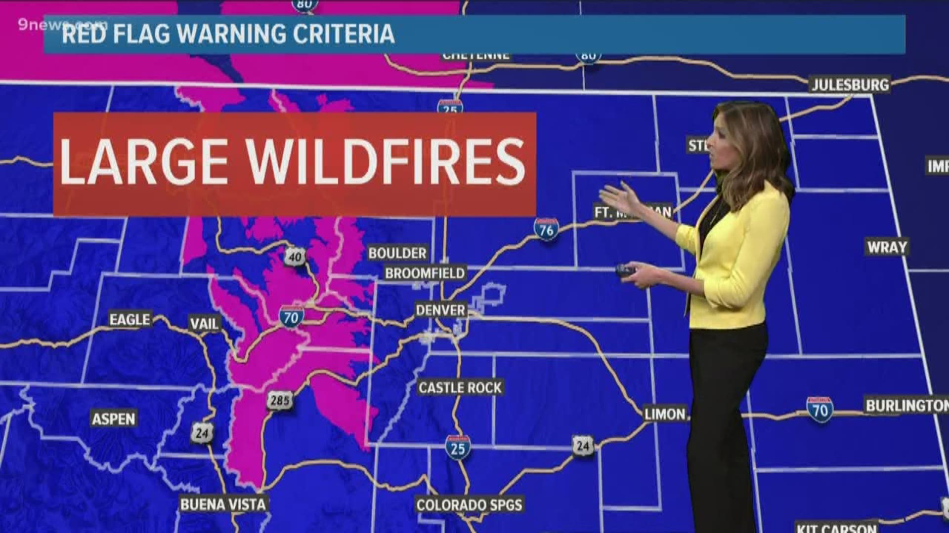
When fire danger is expected to become extreme, the National Weather Service will issue a Red Flag Warning.
Forecasters are looking for these conditions to form within 24 hours: winds gusting at or above 25 mph, relative humidities of less than 15% for at least three hours, dry lightning, or a combination of weather and fuel conditions that could cause large wildfires.
It's the possibility of a rapidly spreading, large wildfire that sets the Red Flag Warning apart from high fire danger.
SUGGESTED VIDEOS | Science is cool