
DENVER — After Thursday's devastating wildfires, there was no happier sight along the Front Range than fresh snow -- and plenty of it.
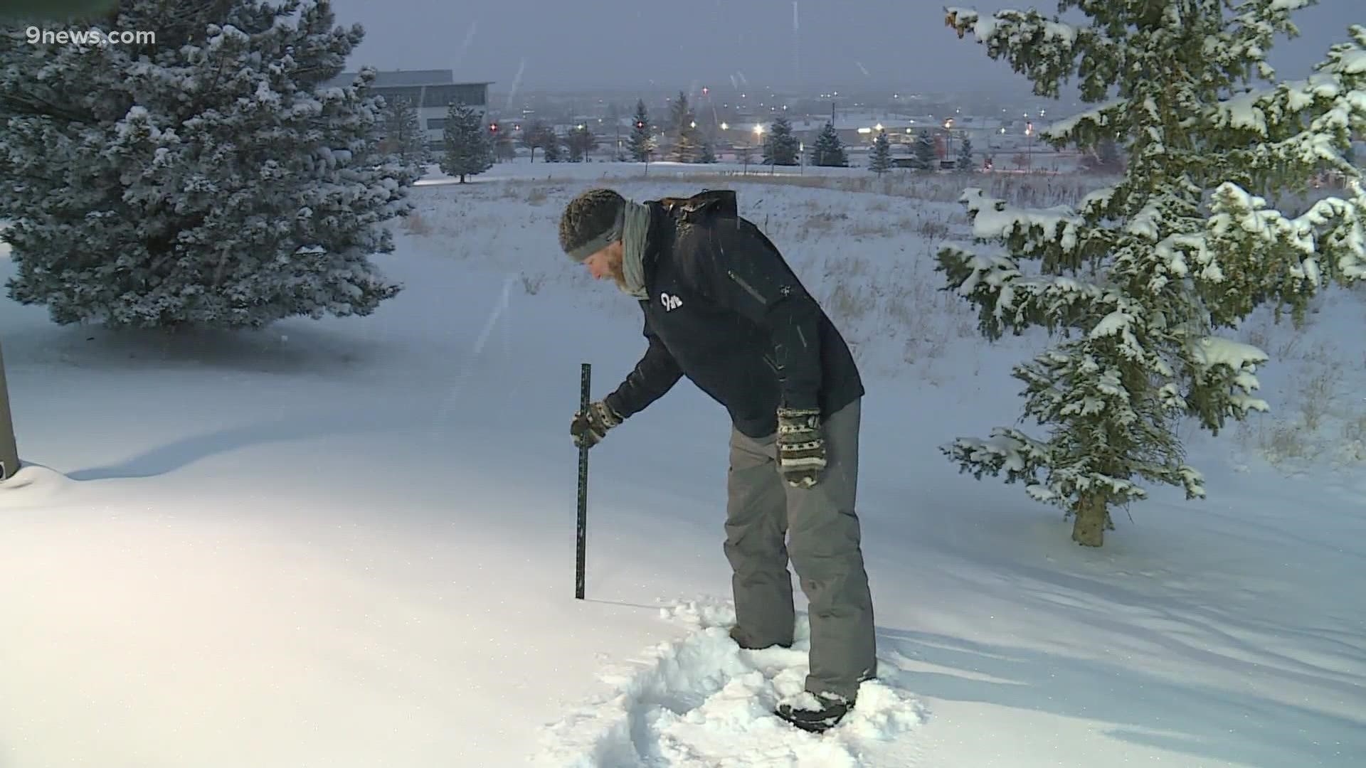
As of 5 a.m. Saturday, Denver International Airport had seen 5 inches of snow, with 4.5 inches of that falling on Friday. That made it Denver's snowiest New Year's Eve on record, with the city's official snowfall records dating back to the 1880s.
Denver International Airport is Denver's official climate site, where meteorological records are kept and maintained.
Most of the Denver area saw between 3-6 inches of snow through late Saturday morning, with the foothills (including the Boulder area) seeing 6-12 inches of total accumulation.
It's Denver's first significant snowstorm of the season. We had just 0.3 inches of total seasonal snowfall heading into Friday.
It wasn't just the snow, either. Temperatures at DIA fell down to 1 degree on Saturday morning, making it Denver's coldest temperature so far this winter. It's also Denver's coldest temperature overall since Feb. 16, 2021.
This snow, however, won't have too long of a shelf life. Temperatures quickly warm back into the 40s for Sunday, and by Monday and Tuesday, highs will be back into the 50s before a sharp cool down Thursday.
There will also be some stronger winds accompanying the warmer temperatures on both Tuesday and Wednesday, which could unfortunately lead to increased fire danger once again.
In the meantime, though, the New Year's snowstorm brought a welcome round of snowy relief to the parched Front Range.
RELATED: A cold, snowy start to 2022
SUGGESTED VIDEOS: Severe Weather