
BOULDER, Colo. — A partnership between the University of Colorado Boulder and a local technologies company has led to the most detailed soil moisture mapping ever seen.
The sensor is an L-band Lobe Difference Correlation Radiometer (LDCR). It uses radio waves to measure moisture below the surface of soil.
“Depending on how moist the soil is, the radio waves will either reflect from it — if it’s very moist, or the radio waves will get absorbed by it,” said Al Gasiewski director of the Center for Environmental Technology at CU Boulder.
This technology and soil moisture mapping application is not new. It was originally developed by NASA in the 1990s. It still flies on a satellite-based mission called the Soil Moisture Active Passive program.
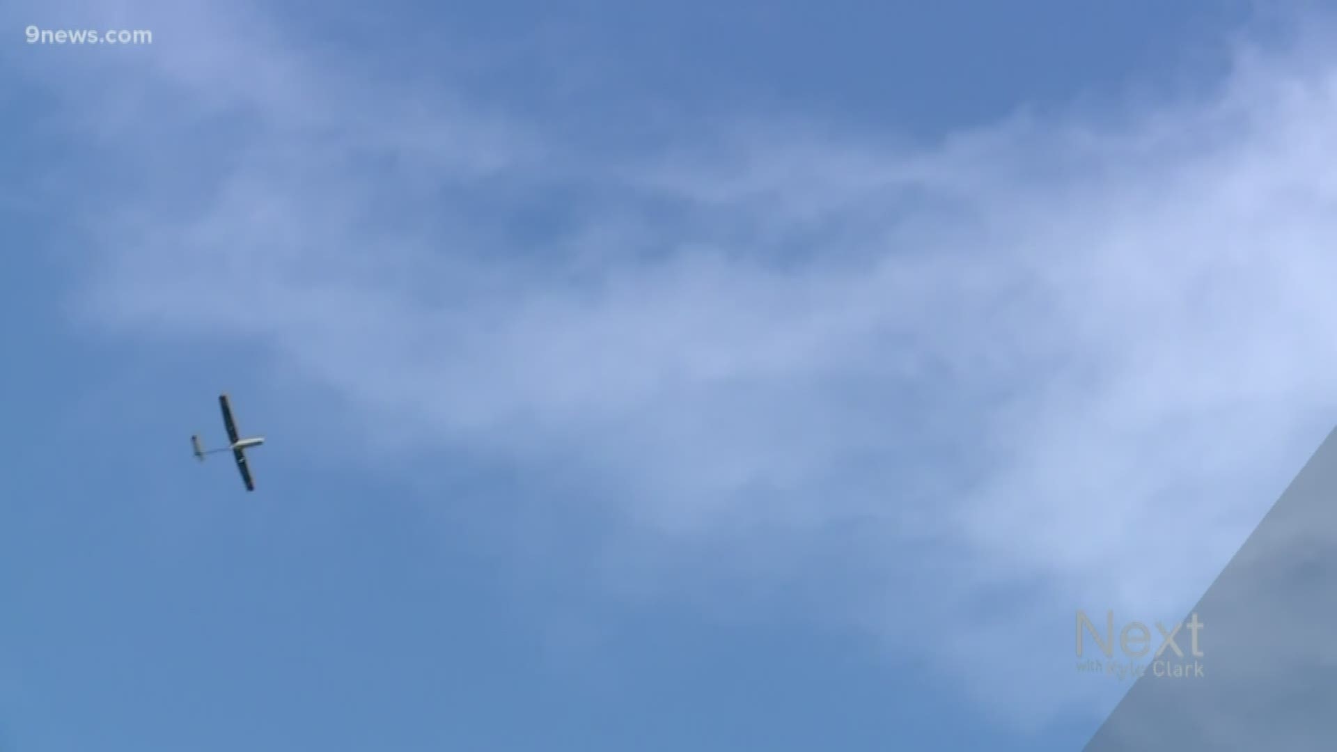
"What we've done is take this technology and made it low cost, more practical, and compact enough to fit in a drone. That's the part that's brand new," said Gasiewski.
From satellite at one pixel per 40 km resolution, this sensor shows soil moisture of a large region well, but when it zooms in to small parcels of land, like farms, golf courses or roadways, the data is no good. This new sensor clears that up with 10-15 meter resolution.
“Nobody has ever yet seen pictures of soil moisture at these scales,” said Gasiewski.
With this information, farmers know when to water, and when they are over watering, which can hurt crops and lead to algae blooms from fertilizer runoff. Gasiewski said yields go up, and waste goes down.
There are several other applications for this technology besides agriculture.
It can be used to analyze soil integrity and detect potential slope failure.
“Soil moisture also has a strong relationship to the stability of land, whether this is land that forms a levee or land that forms an embankment of a roadway," said Gasiewski.
Slope failure is what CDOT engineers said caused the recent cracking of the Boulder Turnpike.
“So being able to fly a piece of equipment and actually measure that soil moisture, determine whether that levee is near failure, or that road embankment is near failure, those are other important applications," said Gasiewski.
The soil moisture mapping can also be applied to flash flood forecasting.
"By being able to determine if the soil is saturated or completely dry. Both of those conditions are important," said Gasiewski.
Flash flood danger is not only tied to the amount of precipitation that falls. It also has a lot to do with the amount of moisture already in it. If the soil is fully saturated before the rain, there is a higher probability of flash flooding. And if the soil is too dry, the water is free to run off the surface.
SUGGESTED VIDEOS | Science is cool