
DENVER, Colorado — When the tech company IBM purchased The Weather Company in 2016, which is a spin-off of the Weather Channel, it set the stage to put super-computing in the hands of weather experts.
The fruits of the relationship were realized on Thursday with the announcement that a new weather forecast model would be brought online.
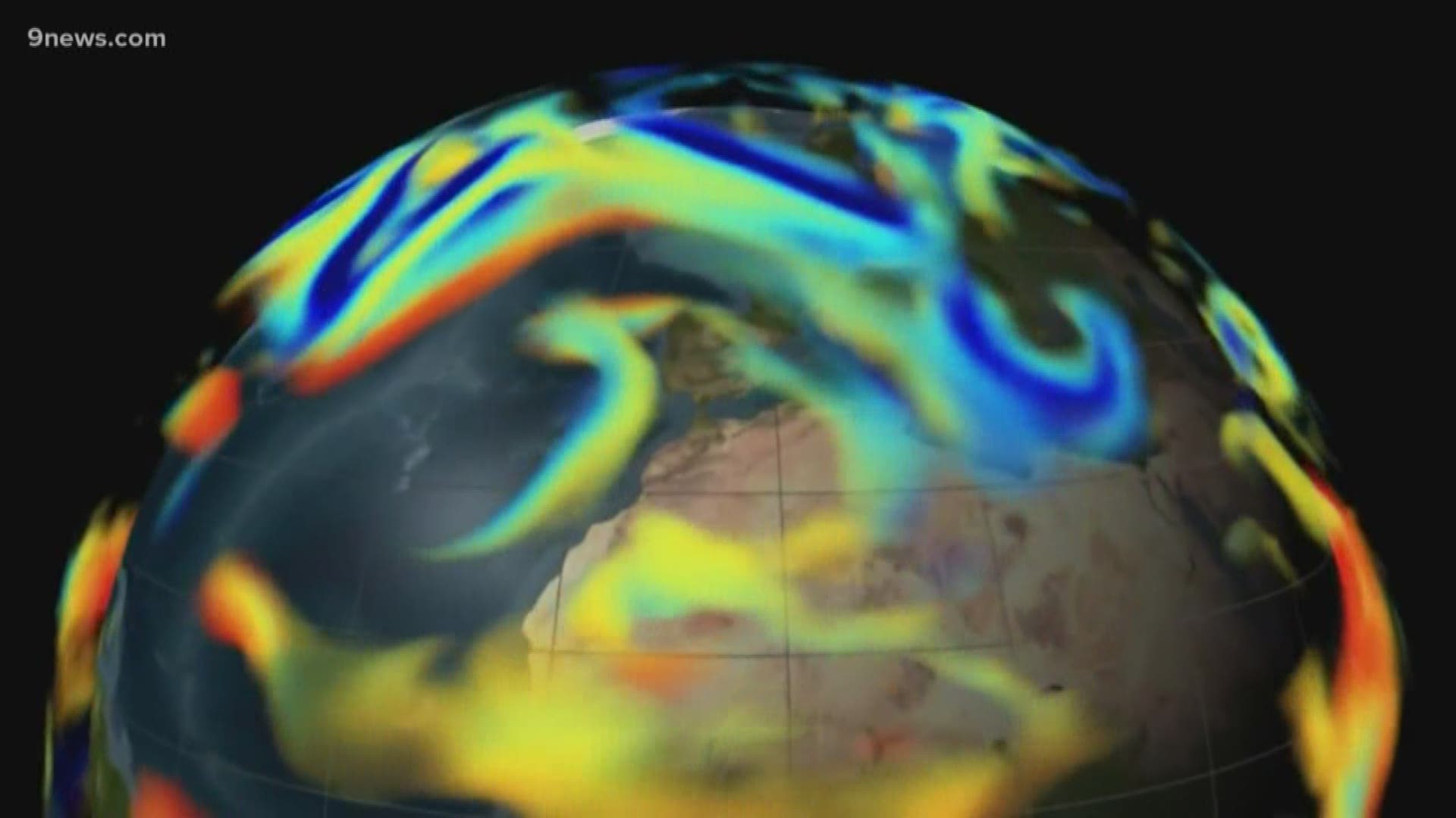
It’s called the Global High-Resolution Atmospheric Forecasting (GRAF). It's touted by IBM to be one of the most advanced weather forecast models ever created.
The GRAF will be run on IBM’s new supercomputer called DYEUS, which is located in Raleigh, North Carolina. IBM said it is capable of doing 2 trillion computations per second, and will crunch 10 terabytes of weather data every day.
It will also be the first weather forecast model run at 3 km resolution over the entire planet.
Here is a look at the different computer forecast models used by 9NEWS meteorologists.
The first group are Synoptic Scale models. They look 3-16 days into the future.
- The Global Forecast System
- Produced by the U.S. Government at the National Centers for Environmental Prediction (NCEP) a branch of the National Oceanic and Atmospheric Admisnistration (NOAA).
- Covers the entire globe.
- Forecast goes out to 10 days at 13km resolution, and then 6 additional days at 27km.
- Renders a new solution every 6 hours.
- Access to data is free for everyone.
- Run by a group of supercomputers called the WCOSS in Reston, VA, and Orlando, FL.
ECMWF (The Euro)
- European Center for Medium-Range Weather Forecasts
- Produced by 22 European countries and is based in England.
- Covers the entire globe.
- Forecast goes out to 10 days at 9km resolution
- Renders a new full solution every 12 hours.
- Access to data is fee based. It can cost from $200 - $150,000 per yer depending on the type of use, and type of user.
- Run at the High Performance Computing Facility (HPCF) in Reading, England.
- Global High-Resolution Forecasting System
- Produced IMB / The Weather Company
- Covers the entire globe.
- Forecast goes out to 12 hours at 3km resolution
- Renders a new solution every hour.
- IBM has not yet announced how much of their data will be fee-based or open-access. There was collaboration with the National Center for Atmospheric Research (NCAR) on the development of the model.
- Run by the IBM supercomputer called Dyeus in Raleigh, NC.
The next group are mesoscale models. They look 1-60 hours into the future, and are meant to show finer detail of storm characteristics instead of forecasting their development. For example, a synoptic scale model can tell you that a storm is coming seven days in advance, while a mesoscale model can tell you if tomorrows storm will have rotating updrafts, or 2 inch per hour snowfall rates.
- High Resolution Rapid Refresh model
- Produced by the U.S. Government at the National Oceanic and Atmospheric Admisnistration (NOAA) headquarters in Boulder, Colorado.
- The lower 48 Untied States, and Alaska.
- Forecast goes out to 18 hours at 3km resolution.
- Renders a new solution every hour.
- Access to data is free for everyone.
- Run by a group of supercomputers called the WCOSS in Reston, VA, and Orlando, FL.
- North American Model
- Produced by the U.S. Government at the National Oceanic and Atmospheric Admisnistration (NOAA) headquarters in Boulder, Colorado.
- The Untied States.
- Forecast goes out to 60 hours at 3km resolution.
- Renders a new solution every 6 hours.
- Access to data is free for everyone.
- Run by a group of supercomputers called the WCOSS in Reston, VA, and Orlando, FL.
- Rapid Precision Mesoscale modeling system
- Produced by IBM / The Weather Company
- The Untied States.
- Forecast goes out to 24 hours at 12km resolution.
- Renders a new solution every 3 hours.
- Access to data is fee-based. 9News used The Weather Company products to assemble the graphic presentations shown on our newscasts, and we do use the RPM in conjunction with other models. The Weather Company has not yet made it clear if the GRAF will replace the RPM but did indicate in an email to us that the GRAF will eventually be made available for us to use at the station.
What is resolution?
The higher the resolution, the greater the detail. The GFS at 13km resolution is the lowest and the HRRR, the NAM, and the new GRAF at 3km are the highest. So, each one of the data points on the GFS covers 13 kilometers on the ground. The GRAF would have a little more that 4 times more data in the same amount of space.
(The video included is not accurate in the description of the Euro's resolution. It has 9 km resolution, not 11 miles. So the GRAF would have 3 times more information instead of 6.)
Does higher resolution mean more accurate?
No. It just means more detail. There are many other variables that contribute to accuracy. Data entry for one. Different models will assimilate different types of weather data, and that will change the solutions. Models will use different weather equations in their computations as well. Developers are consistently tweaking their models to resolve complex issues like satellite bias, and topography. There is definitely a learning curve where the seniority or experience that a model has makes a big difference, so we should expect a few bumps in the first few years of the GRAF model until they get the kinks worked out.
SUGGESTED VIDEOS | Science is Cool