
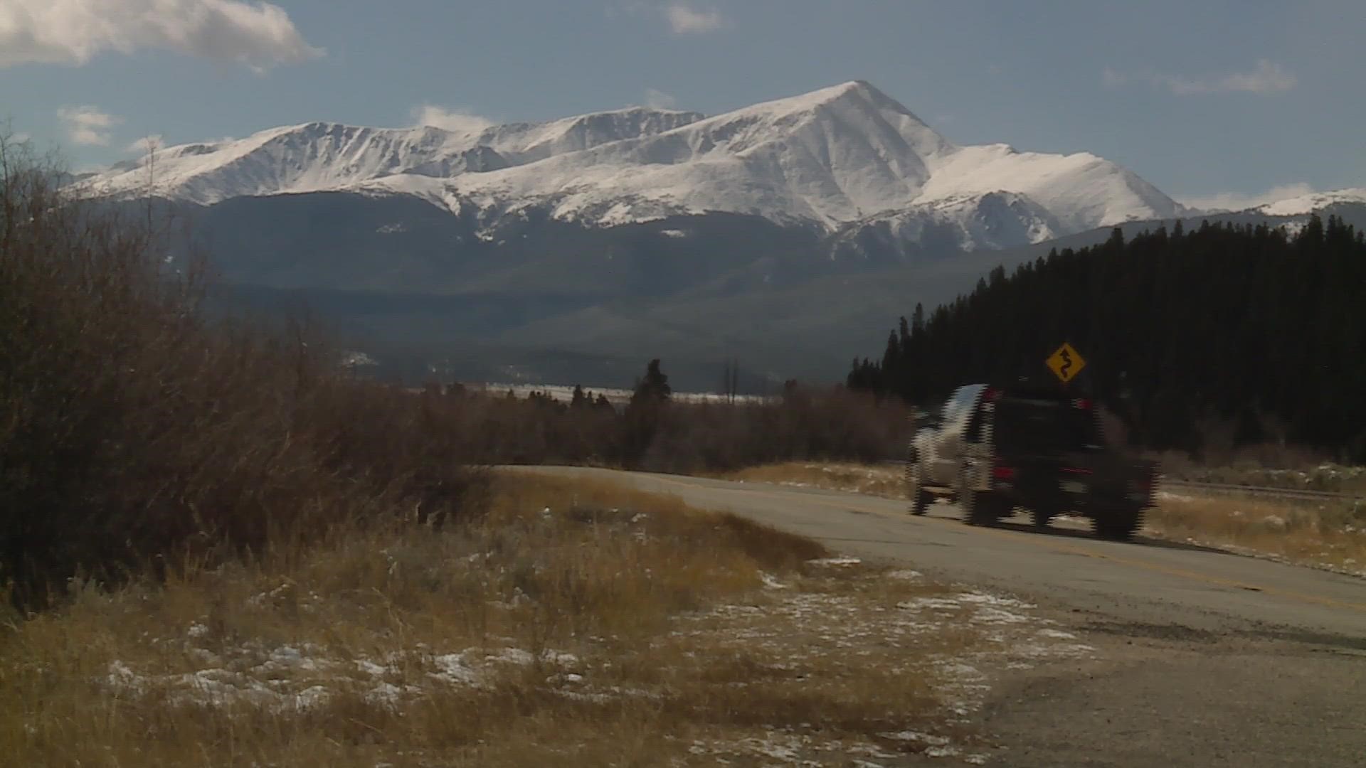
LEADVILLE, Colo. — The first significant snowstorm of the season hit Colorado on Sunday covering the mountains with 10" to 16" of snow between 10,000 and 14,000 feet.
Some of that fresh snow will still be there in June. It’s a frozen reservoir known as snowpack.
But it’s not the amount of snow that hydrologists and climatologists track, it’s the water in the snow that counts. Scientists call it Snow/Water-Equivalent (SWE).
Nearly 80 percent of the water we use in the western United States comes from snowpack, so to keep close tabs on the progress, new data is released by the Natural Resources Conservation Service (NRCS) on a daily basis.
9NEWS reports that information to our viewers on a regular basis over the winter. Usually in the form of a snowpack map.

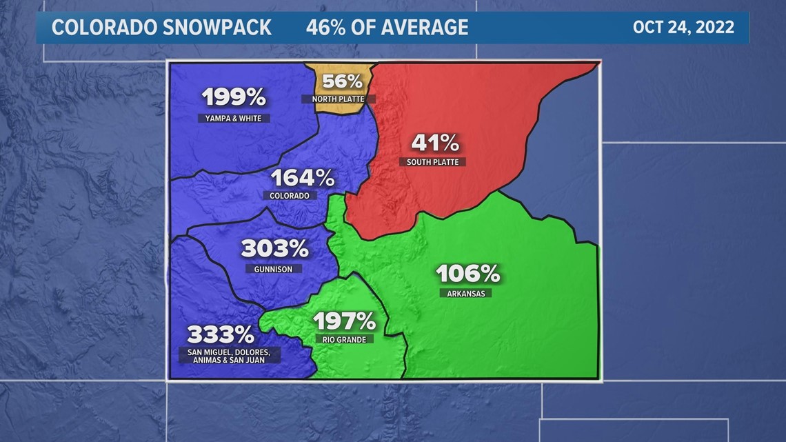
The map is broken up into eight different watersheds. The blank spot on the far eastern plains is not part of the South Platte River basin or the Arkansas. It's technically its own headwaters for the Republican and Smoky Hill Rivers.
Each watershed shows a percentage, which is the amount of SWE compared to the average for that day. The NRCS reports snowpack as a percent of average instead of using a negative number for below-average data, so 100% is average, 99% of average is 1% below average and so on.
The South Platte River basin for example is 41% of average as of Monday, which is 59% below the average for that day.
The entire watershed is highlighted but the measurement only comes from snowpack in the mountains near the headwaters of that basin.
It's obvious from the map that the weekend storm system impacted mostly the western slope – The Gunnison River basin is now 203% above average for October 24.
The station on Scofield Pass measured 1.3 inches of SWE from Sunday’s storm – which is probably close to 16 inches of snow. The stations don't actually record snowfall but that can be estimated. The standard ratio for mountain snow 12:1, but can be adjusted if the temperatures are above or below average.
There’s also a statewide average. With all the basins averaged together, Colorado’s snowpack is 46% above average after the first significant snowstorm.
That equals about a half inch of SWE. The early season averages are very low, so the numbers will fluctuate greatly during the first few months.
By the time the state’s snowpack peaks in mid-April, we’ll hopefully be close to the average of 17 inches of water in the snow.
SUGGESTED VIDEOS: Colorado Climate
9NEWS+
9NEWS+ has multiple live daily shows including 9NEWS Mornings, Next with Kyle Clark and 9NEWS+ Daily, an original streaming program. 9NEWS+ is where you can watch live breaking news, weather updates, and press conferences. You can also replay recent newscasts and find videos on demand of our top stories, local politics, investigations and Colorado specific features.
To download 9NEWS+ on Roku search for KUSA.
To download 9NEWS+ on Fire TV search for 9NEWS.