
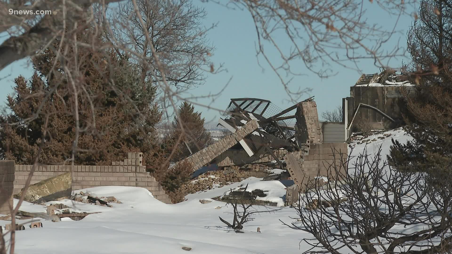
BOULDER COUNTY, Colo. — The change to the landscape of the Spanish Hills neighborhood in Superior was dramatic after the Marshall Fire came through, but before it changes again, Brad Wham and a group of engineering professors want to capture a moment in time.
"We're working on collecting perishable data from the Marshall Fire," said Brad Wham, Ph.D., an assistant professor of research and the managing director of Center of Infrastructure, Energy, and Space Testing at CU Boulder.
Wham is part of a national team that deploys around the world after disasters called GEER, which stands for Geotechnical Extreme Events Reconnaissance. The team is funded through the National Science Foundation.
“When there’s a disaster, there’s an announcement that goes out; they say who’s available and what are your expertise," said Wham.
A resident of Louisville himself, he didn't have to travel far.
But other members of the team here to collect data after the Marshall Fire are from Oregon State and Purdue.
"Traditionally these towns have not been investigated by civil engineers, but now we're trying to partner with our forest ecologist partners and colleagues," said Erica Fischer, Ph.D., a Civil & Construction Engineering assistant professor at Oregon State.
She said the GEER team has deployed to earthquakes and hurricanes, but this is their first wildfire.
While surveying the burned areas with a drone, they will look at how buildings performed against the fire and what led to its spread in hopes of informing others to build more resilient communities in the future.
The launch of the drone on Friday morning was co-led by CU Boulder's RISE team, which stands for Resilient Infrastructure with Sustainability and Equity.
"We are very interested in the characteristics of how hot some of these structures burned," said Wham. "Which is useful for us to understand how the fire spread, whether it was from building to building, or through the grassland areas past trees."
Snow coating the ground makes data collection more difficult.
"We'll be able to capture some really good information on some of the building structures and things," said Wham. "We'll lose some of that detail about which areas actually burned and which areas didn't burn."
The full team of researchers is here until Monday, and they are hoping the snow melts to be able to collect better images.
SUGGESTED VIDEOS: Marshall Fire coverage, Boulder County, Colorado