
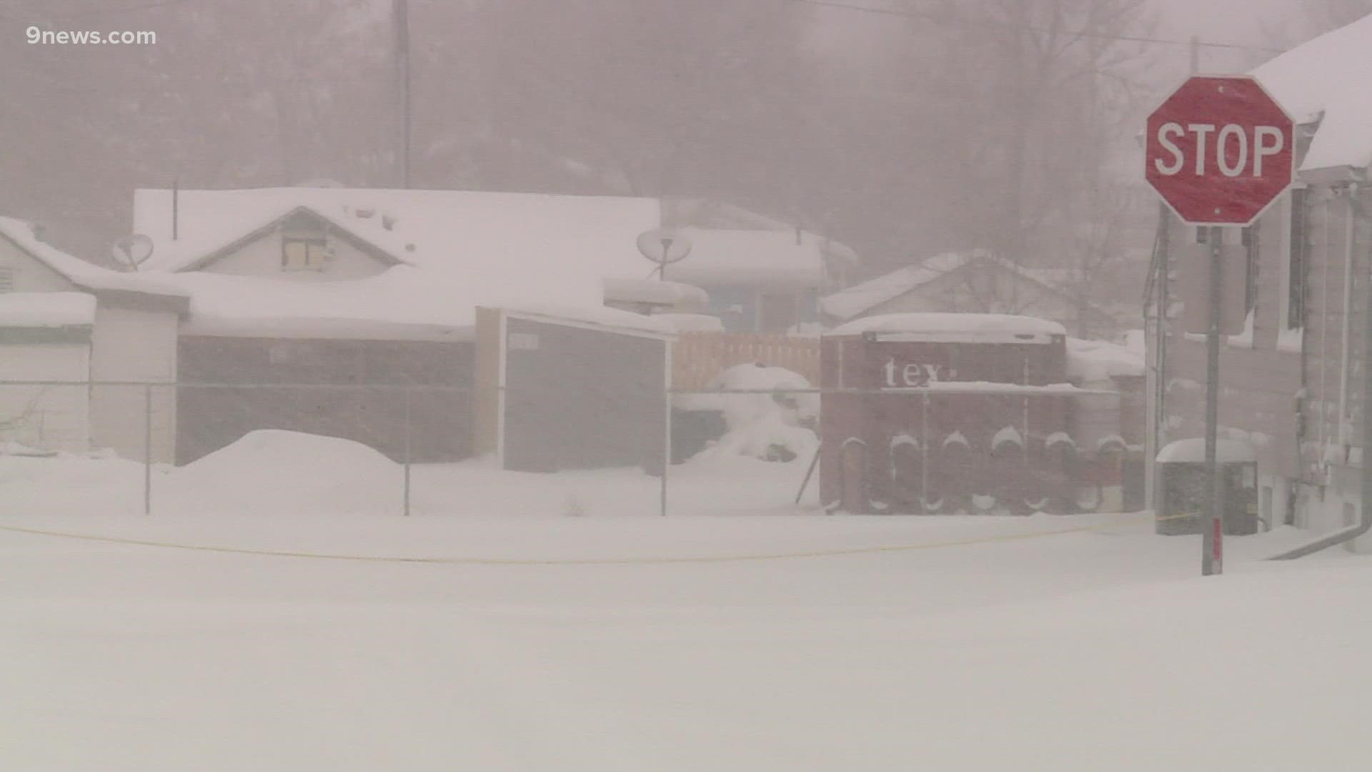
DENVER — The Tuesday night/Wednesday morning snowstorm was boom or bust in the Denver area. Nearly 14 inches fell in the Commerce City area, while only 9 miles away, at Denver International Airport, just 3.5 inches of snow was measured.
The sharp contrast in the totals is a result of a single band of heavy snow that moved through the Denver metro after sunset on Tuesday and vanished before the sun came back up on Wednesday.
A meteorological feature called the Denver Cyclone is responsible for creating that snow band.
Here’s how it works.
The wind near the surface was coming out of the southeast on Tuesday night and Wednesday morning. When it hit an area of elevated terrain south of Denver known as the Palmer Divide, it created an eddy or a pocket of air rotating counter-clockwise.
This circulation is a feature that local meteorologists called the Denver Cyclone.

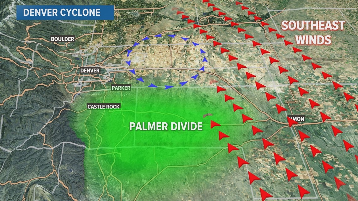
It first formed on Tuesday evening in the southeast metro area just after sunset. Winds around the edge of the cyclone collided with opposing winds, which created a band of heavy snow.
This is called a convergence zone.
It dropped an extra 2-4 inches on places like the Pinery, Parker and southeast Aurora.
But the Denver Cyclone is known to wander, and at about 10 p.m. Tuesday, it drifted into the core of the metro area. Another strong convergence zone formed, and a band of snow developed.
And for the next 7 hours that snow band traveled across the metro from Boulder to east Denver, dumping close to 3 inches of snow per hour.
The snow band was roughly four miles wide and dumped 2 to 3 inches of snow per hour.
Before the snow band went through my place in north Arvada, I measured just under 3 inches at 11 p.m. on Tuesday. Then I measured 6.3 inches at 3 a.m., after it moved away.
But it was moving at about 2.5 miles per hour at that point, when it moved into the Denver area, the snow band slowed dramatically and then even stalled out just to the east of downtown.
There was an additional 4-7 inches in most areas affected by that big snow band. Possibly even 8 or 9 inches where the band finally stalled out. The band dissipated shortly after 5 a.m. Wednesday.
It stopped just before it reached Interstate 225, so all the areas east of there did not receive any additional snow accumulation. Denver International Airport, for instance, only picked up 3.5 inches for the entire storm.
The Denver Cyclone is a common feature during winter storms, but it doesn’t always result in large snow bands. That part of it is not completely understood, but this is one of the most pronounced examples we've seen in recent years.
The convergence zone that resulted is a version of the Denver Convergence and Vorticity Zone, or DCVZ. The DCVZ does not always happen in Denver, though. In fact, during the spring and summer months, the DCVZ can be in Weld County.
SUGGESTED VIDEOS: Science & Weather