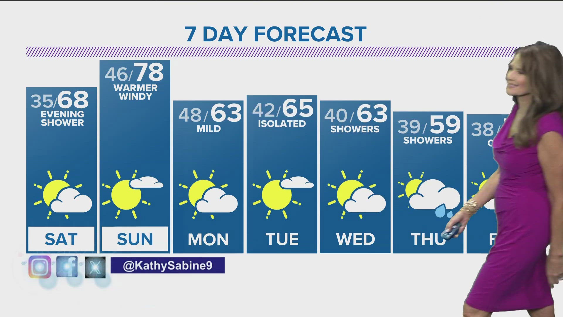
Despite mild temperatures throughout the night Tuesday and another mild morning and day to start off Wednesday, freezing drizzle and snow are expected in parts of Colorado around midnight, the National Weather Service's Boulder office says.
The headline throughout the day has been extreme wind gusts throughout the mountains and foothills in the 50 to 70 mph range. This will bring blowing snow and increased snowfall beginning midnight in the areas north of the Interstate 70 corridor - meaning the Denver metro area will miss the worst of the trouble.
1 to 4 inches will have likely fallen in areas north of I-70 by daybreak Thursday, according to NWS.
The National Weather service expects freezing drizzle to fall in the front range and metro area overnight into the morning.
The plains will see even cooler temperatures beginning in the evening hours as the sun sets and an increase in moisture likely bringing snowfall to north Colorado in a line from Fort Collins to Fort Morgan. Those areas will likely just see a trace of snow up to 2 inches.
TAKE IT WITH YOU | Follow 9NEWS Weather on Twitter and on Facebook
We also have a 9NEWS app for quick and easy access!
South of that line, the NWS says, will likely just see a chance of freezing drizzle lasting until Thursday morning.
Beyond that, a quick band of snow is expected to drop north of the area from Fort Collins/Loveland to Greeley, Fort Morgan and Akron Thursday morning. Most locations that see snowfall will see less than 2 inches.
Flurries will linger in those areas through the afternoon.
According to NWS, Denver will likely see freezing drizzle or flurries on Thursday - though any precipitation in the metro will be light.
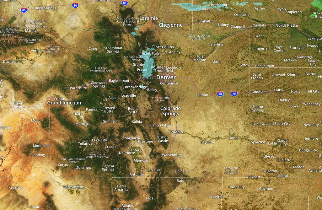
CHECK CONDITIONS | The National Weather Service Radar - Metro Colorado
The mountains will likely see three to seven inches on Thursday north of the area from Rabbit Ears Pass to the Indian Peaks/Rocky Mountain National Park region.
South of the I-70 corridor through Summit County, includes the area approaching the Eisenhower Tunnel and Vail Pass will just see about 1 to 4 inches on Thursday.
Slick conditions are expected in that area.
The Western Slopes could see up to a foot of snowfall by the end of the day Thursday.
On Friday, drier and warmer weather is moving in making for a heck of a travel day - but with what the NWS calls "weather disturbances" further snowfall is expected over the weekend into Monday.
The plains are looking at rain during that time as well.