
Written by 9NEWS Storm Chaser Cory Reppenhagen. Hear more in the video above.
There is a great deal of information on those popular forecast graphics from the National Hurricane Center. A lot of people turn to those info graphics when making important decisions about an approaching storm. There are a few mistakes you can make when trying to interpret that data tough.
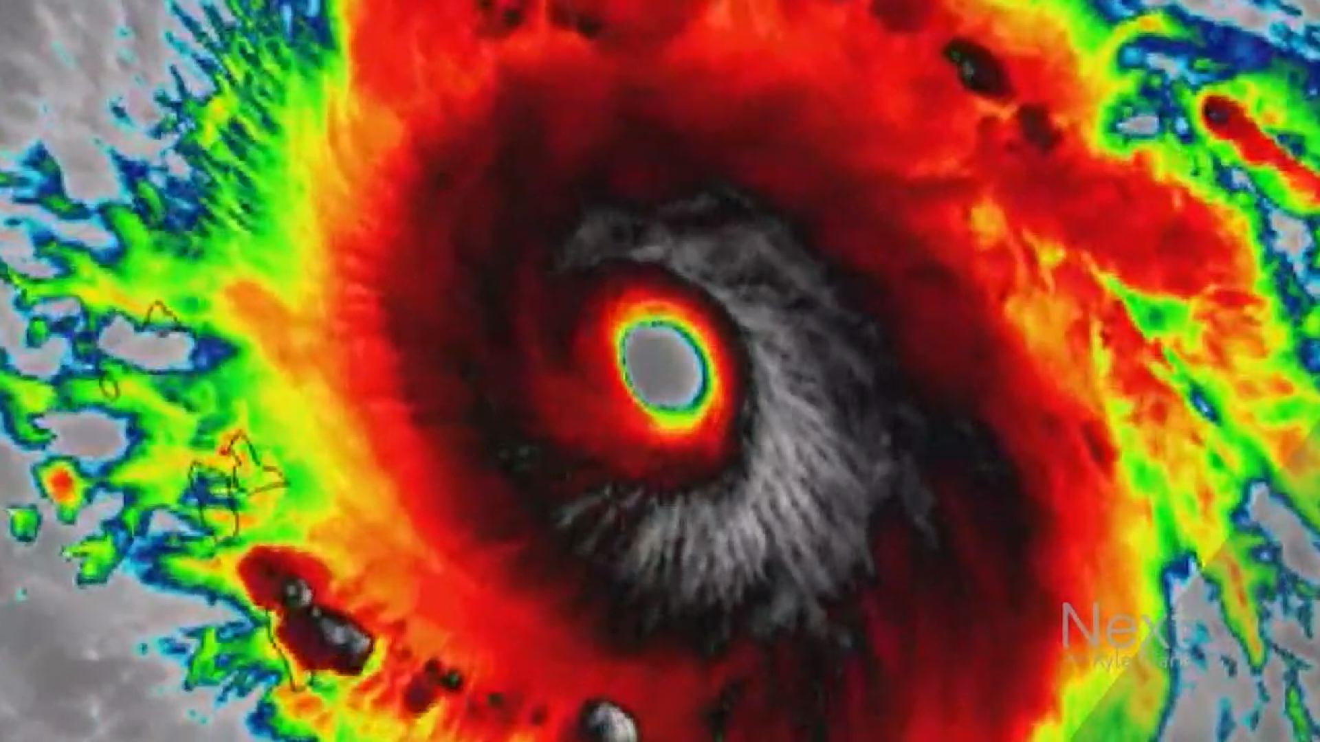
Try not to focus too much on the wind speeds.
The wind speed and category level of the storm does not tell the whole story of the forecast. Any hurricane with sustained winds stronger than 110 miles per hour is officially considered a major hurricane. That is because of their potential for significant damage, and loss of life.
If a hurricane drops from a category 5 to a category 4, or even a 3, it is still a major hurricane.
A good example of this was the most recent landfall of Hurricane Harvey, in Texas. There was a lot of attention given to the sudden intensification, of the sustained eye-wall winds, to Category 4, but perhaps the more important information was the likely stall and flooding of the storm. When the storm was downgraded after landfall, the bulk of the storm damage was yet to occur.
Also, try not to focus too much on the little black dots on the forecast track of the hurricane, or the times listed.

The timing on that graphic, is just for the eye of the storm. The actual impact of the hurricane will occur before that time. For instance, the graphic could show a landfall on the British Virgin Islands, at 2pm Wednesday, but the storm bands and storm surge could start 5 to 10 hours before, that depending on the size of the hurricane. That graphic does not show the size of the storm.
The impacts of the hurricane can also occur outside this cone.

The black dot is the forecast location by the National Hurricane Center. It will have an 'M', or an 'H' in it, for major, normal, hurricane. The white cone around the forecast track reflects the margin of error. Over the last 5 years, the eye of the storm has stayed inside that forecast cone, 67 percent of the time.
So if the eye of the hurricane, ends up on the edge of that cone, the storm is still on track, but the impacts of the hurricane will be well outside of that cone.
The science of forecasting hurricanes as they form, is undeniably improving. The National Hurricane Center says it's margin of error on a three day hurricane forecast, has gone from 300 nautical miles in 1990, to 107 nautical miles today.
