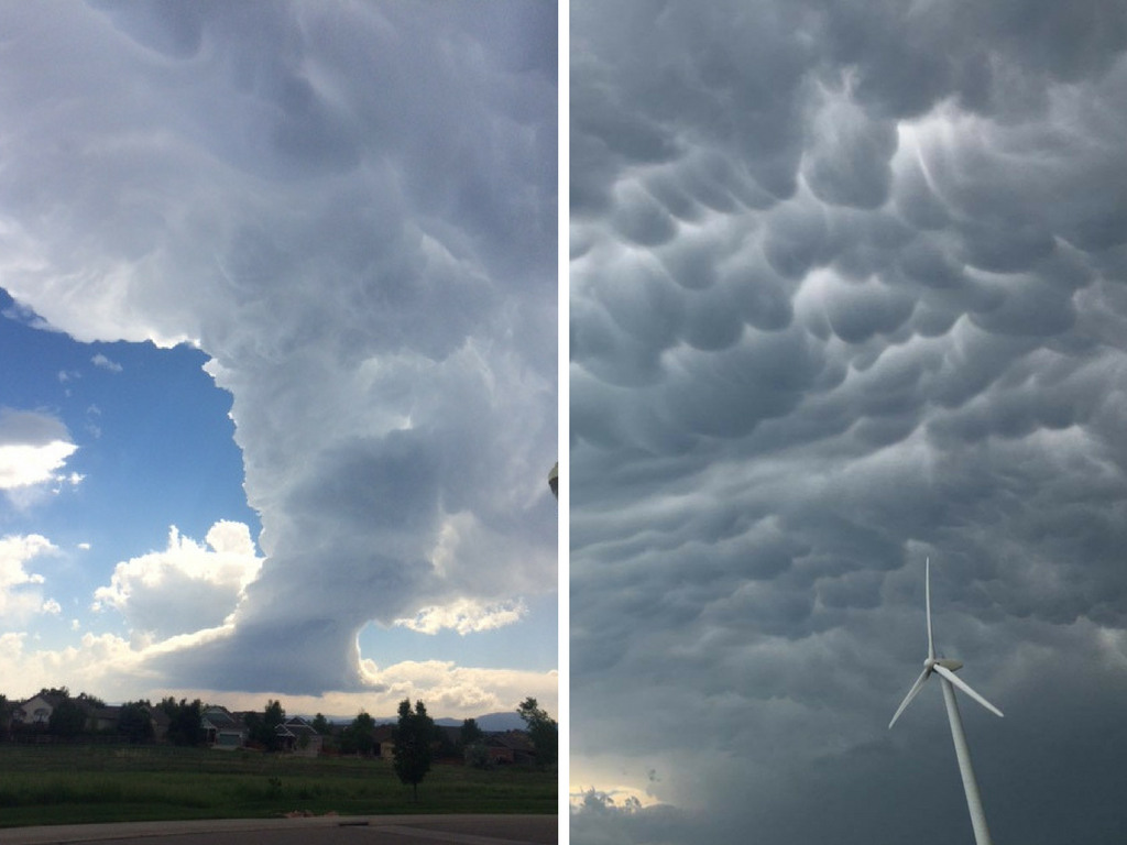
During Monday's severe weather, many viewers sent us photos of crazy cloud formations around Colorado.
So we asked our meteorologists what had caused them.
Marty Coniglio explained that the cloud that "appears to be swallowing Long's Peak" according to one viewer, is actually a strong updraft cloud in a developing thunderstorm that is pulling away from the rest of the storm due to the strong winds.
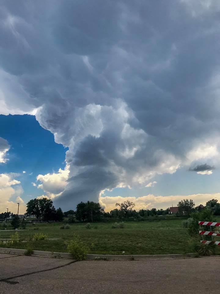
He also said that the strong upper level winds are causing the cloud to tilt.
Becky Ditchfield and Cory Reppenhagen said that they saw several of these type of storms form and quickly dissipate while out storm chasing on Monday.
We also got a lot of pictures of these scallop-looking clouds covering the sky.
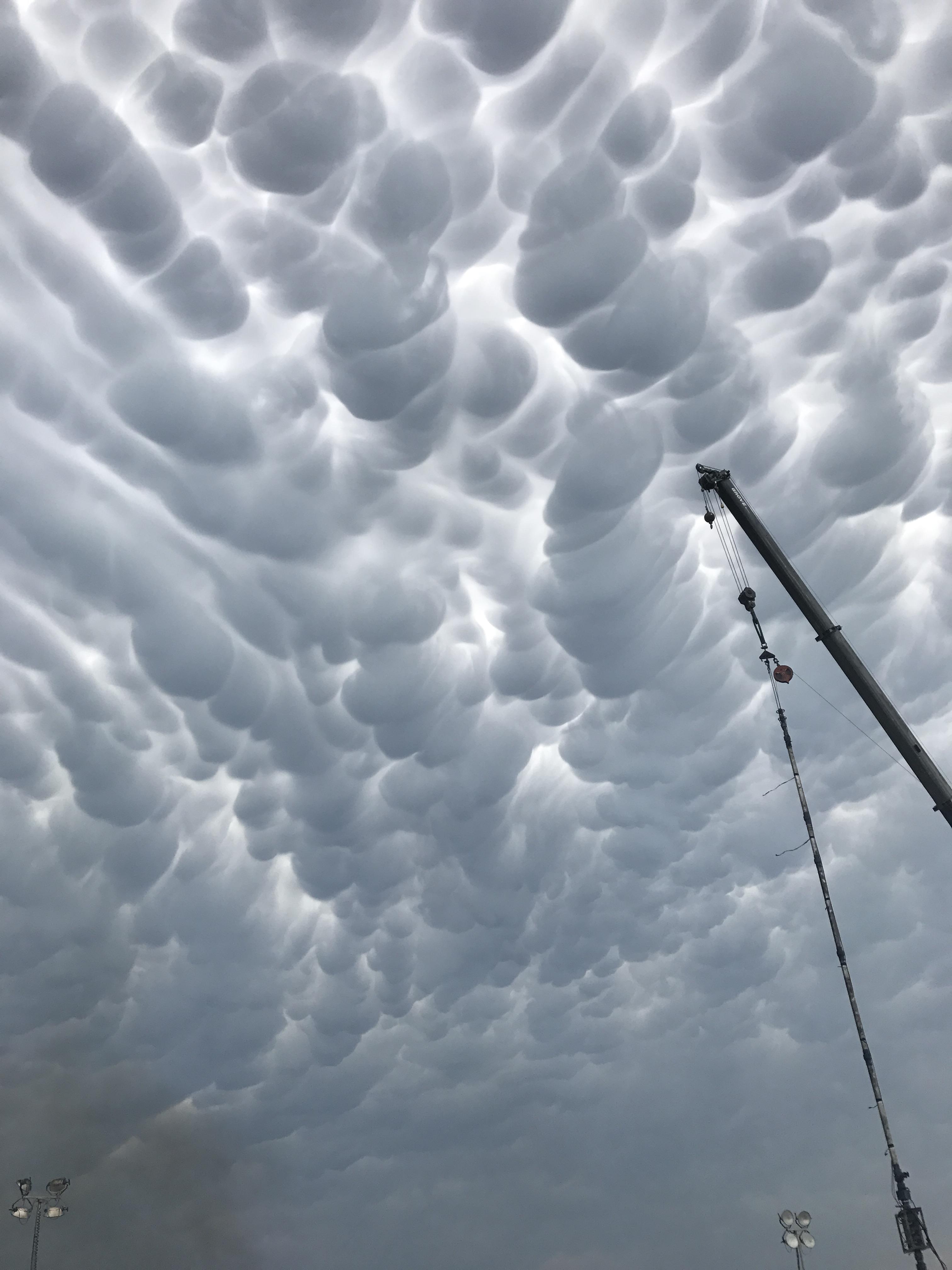
These are mammatus clouds.
Marty said that they are caused by a down draft of cold air that often follows a strong thunderstorm. The shape is caused by the that air pushing down on the upper storm clouds.
They are always on the back-end of a storm and will be more pronounced if the storm is stronger.