
GOLDEN, Colo. — The Caribbean area has seen an unusually high amount of seismic activity since late December.
After a magnitude 7.7 off the coast of Jamaica on Tuesday, 9NEWS visited the National Earthquake Information Center (NEIC) and interviewed geophysicist Gavin Hayes.
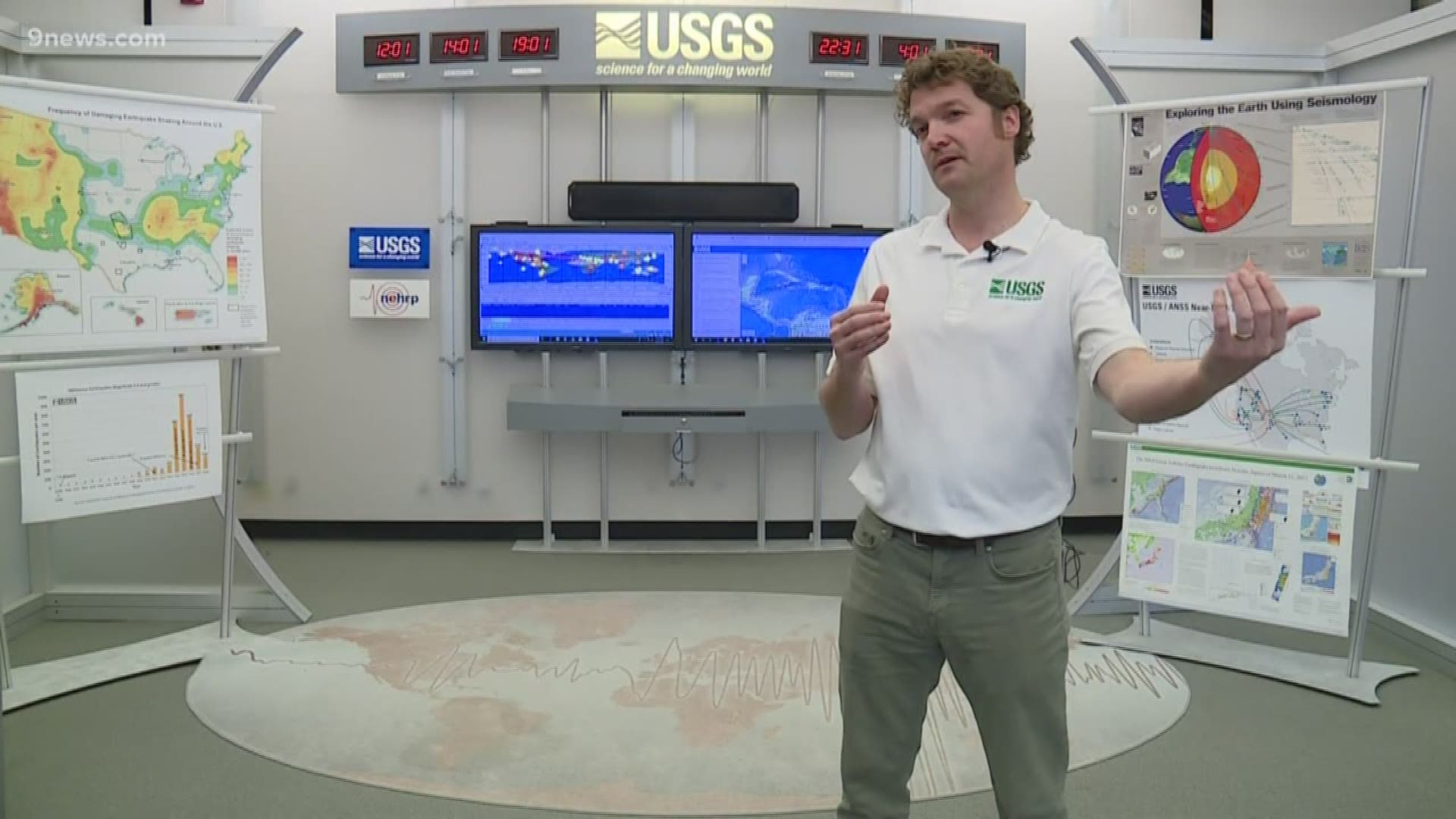
He is an earthquake researcher and analyst at NEIC, which is on the campus of Colorado School of Mines and run by the United States Geological Survey.
(Editor's note: This interview has been edited for context and clarity.)
9NEWS: What do you guys do here at this office?
Hayes: We have people that are working 24/7 that monitor our computer systems that bring in data from thousands of seismic stations around the world. Our analysts work to precisely located the quake and figure out the magnitude. That all happens within 15 to 20 minutes after the event occurring.
What other products do you release here?
Hayes: We have some that characterize the shaking, the likely impact of the event, the faulting mechanism of the event, and the region that that earthquake slipped on that fault.
Are you the only ones that monitor earthquakes in the Caribbean?
Hayes: We would be the lead agency domestically for global response to earthquakes. There are a few small centers in the Caribbean that monitor the region surrounding their countries general area. Puerto Rico has one that we work with. The Dominican Republic, and I think there may be one or two more out there.
What areas do you monitor?
Hayes: The whole planet. Our group here is one of the only groups with a mandate to monitor earthquakes around the world.
Do you consider this earthquake period in the Caribbean to be very active?
Hayes: It has certainly been more active over the past month than is typical, but earthquakes in general are not unusual in the Caribbean. Given there is a major plate boundary where the North American Plate collides with the Caribbean Plate.
What’s it like in this office when you get a 7.7 pop up on the board?
Hayes: It’s pretty frantic here as we try to figure out how big it is as quickly as we can.
What was you main concern with this quake?
Hayes: It was a very large event that broke a length of fault about 150 to 200 kilometers long, so upwards of maybe 120 miles, towards the Cayman Islands. It would have been felt very strongly in the Cayman Islands and moderately in Jamaica, and southern Cuba.
Did Jamaica and Cuba dodge a bullet then?
Hayes: It would have likely been worse. If the fault rupture, as we call it, would have gone towards Cuba instead of the Cayman Islands, it would have certainly caused more significant shaking in Cuba.
Why is the fault rupture so important?
Hayes: Because shaking is dependent upon the distance from the fault that moved and not the distance from where the earthquake started, which is the little circle that we put on the map.
What is the fault called where this earthquake happened?
Hayes: It’s a plate boundary structure. It’s called the Orient Fault, just to the south of Cuba. It is a transform plate boundary, so it involves horizontal motion where those two plates meet on that side of the Caribbean.
Did you think there was going to be a stronger quake following the 7.7?
Hayes: You never really know if a quake is a foreshock until there is a larger shock. There’s always a small probability, say a 5% or less chance, that earthquakes of about magnitude 5 size will be followed by a larger event.
Are magnitude 7 and 8 earthquakes common in the Caribbean?
Hayes: In the Caribbean it’s less frequent and I think some would say that the faults there are not perhaps big enough to support a magnitude 9, but I don’t think that a magnitude 8 is unexpected.
Why would a magnitude 9 not be likely in the Caribbean?
Hayes: The convergence of the North American plate with the Caribbean happens at about 2 cm a year. So, about half the rate that your fingernails grow. In some areas, those plates converge more than 3 times faster. When that happens faster, you just get bigger earthquakes more often.
Why was there not much concern over a tsunami?
Hayes: To get a tsunami, you really need vertical motion of the sea floor -- essentially a fault that has some vertical motion in it. Tuesday’s earthquake was almost purely horizontal motion. Those are much less likely to generate tsunamis unless they trigger something like an underwater landslide.
Does all of the Caribbean have lower tsunami risk than other regions?
Hayes: No, there are parts of that plate boundary that generate more vertical motions. There have been devastating tsunamis in the past.
Where are the greatest risks of tsunamis there?
Hayes: On the eastern side of the boundary the North American plate is sliding underneath the Caribbean plate. There is a high chance for vertical motion there. On the western side of the boundary, where this most recent quake happened, the North American plate is actually slide horizontal to the Caribbean plate.
SUGGESTED VIDEOS | Science is cool