
Hopefully, you enjoyed sunshine and 70s because we are settling into a cooler wet weather pattern for the week ahead!
An early morning front ushered in low clouds, fog and cooler weather to start the day but with enough sunshine and highs near 70 degrees afternoon storms developed.
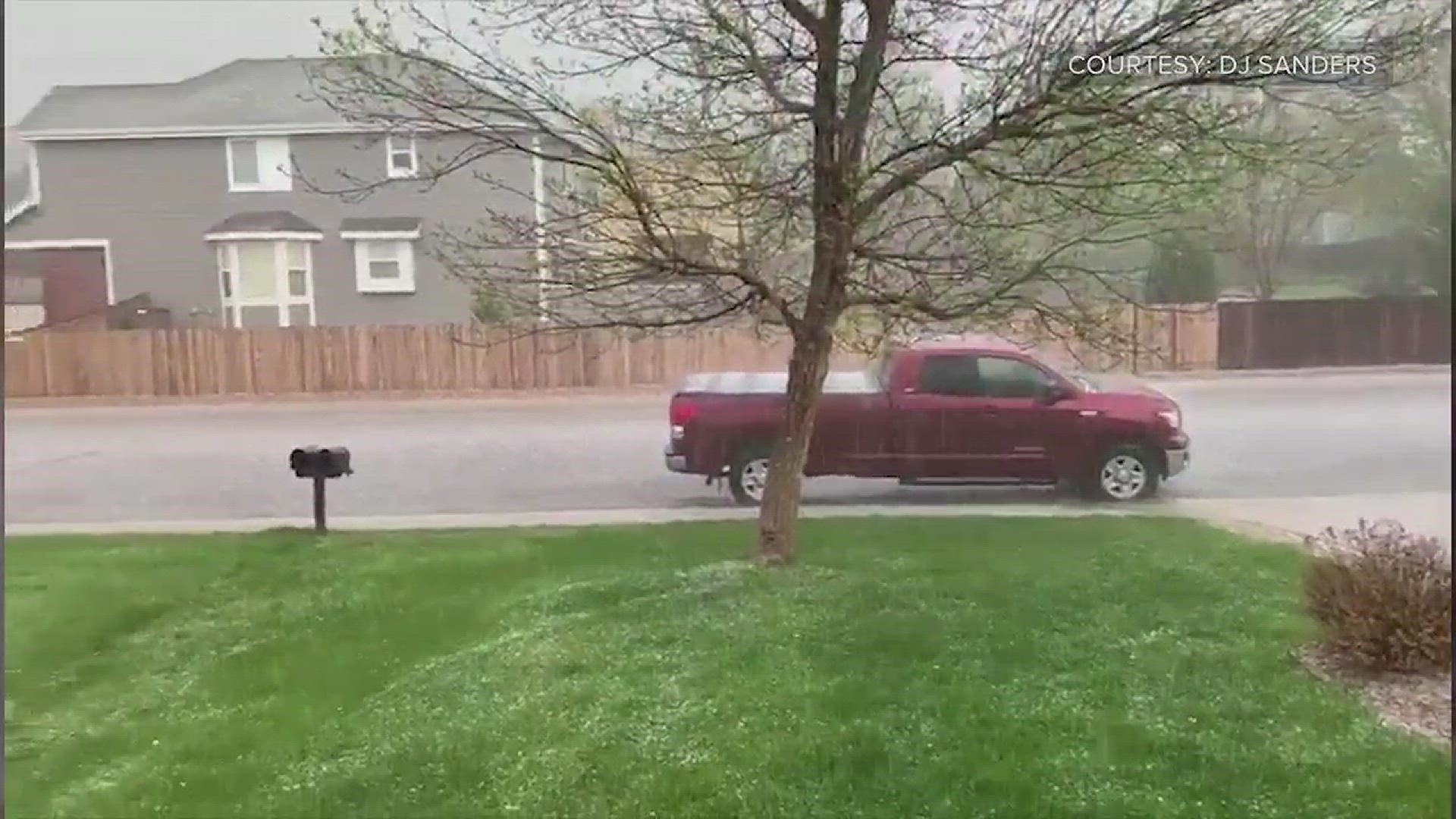
Photos and video showed pea-sized hail blanketing the ground in Broomfield, Westminster, Brighton and Thornton.


But the storms moved out as quickly as they came in. By 8:00 p.m. there were no severe thunderstorm warnings still in effect.
The Severe Thunderstorm Watch for eastern Colorado was canceled around 9 p.m.
It will be mostly cloudy and cooler for the next three days with more showers more than thunderstorm activity.
MORE | Front Range weather forecast
It will be cold enough early Thursday morning for a rain-snow mix as we start the day with temperatures around freezing.
Highs will be in the upper 50s Tuesday, upper 40s on Wednesday and mid-40s Thursday.
Expect clearing skies and not as cold temperatures Friday before a warmer weekend with highs in upper 60s.
SUGGESTED VIDEOS | Local stories from 9NEWS