
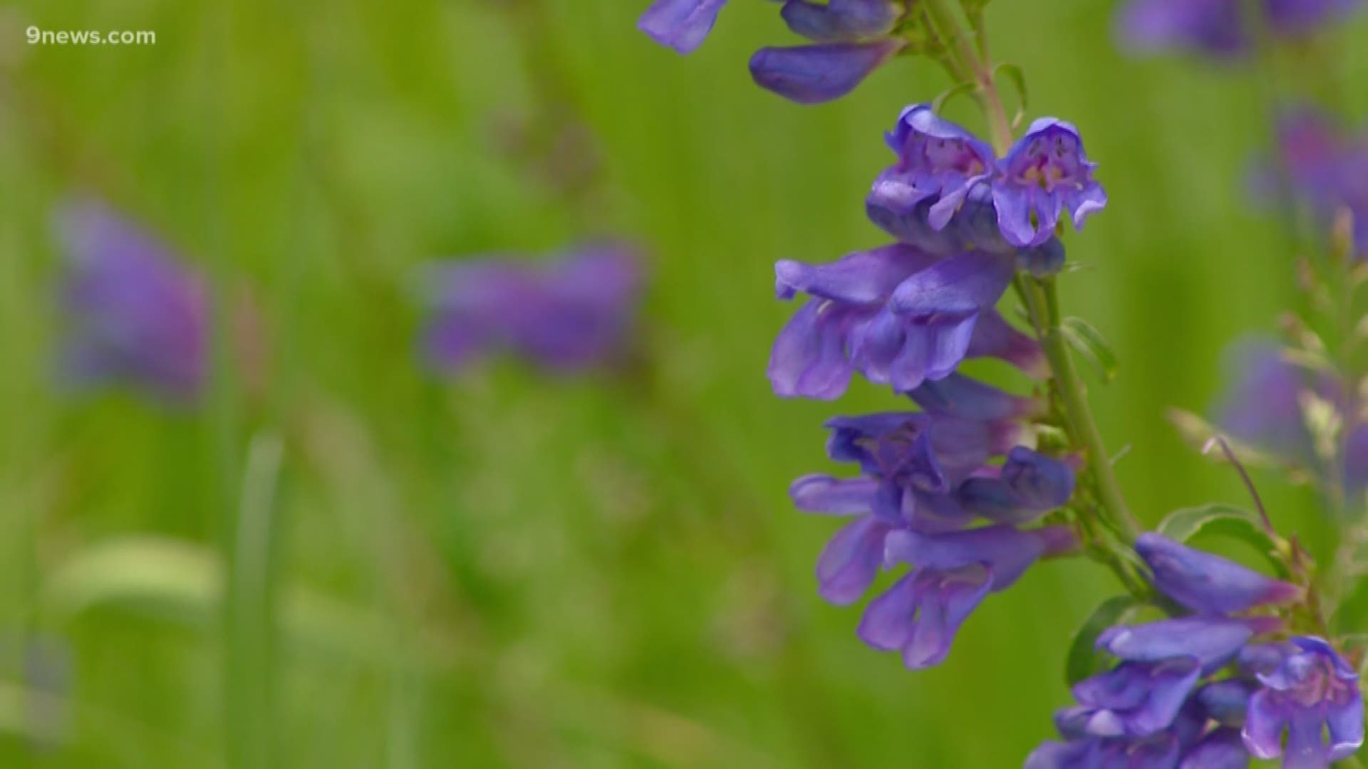
DENVER — Wildflower season is underway and the flowers are looking especially vibrant across Colorado.
Sometimes life gets in the way of making the drive into Colorado's high country. Luckily, there are plenty of places to enjoy the summer season within a few minutes of Denver.
Some of these hikes are liable to get pretty busy on weekends. The best times to hit the trail are typically before 9 a.m. or after 3 p.m. Just make sure to check the 9NEWS forecast for summer storms.
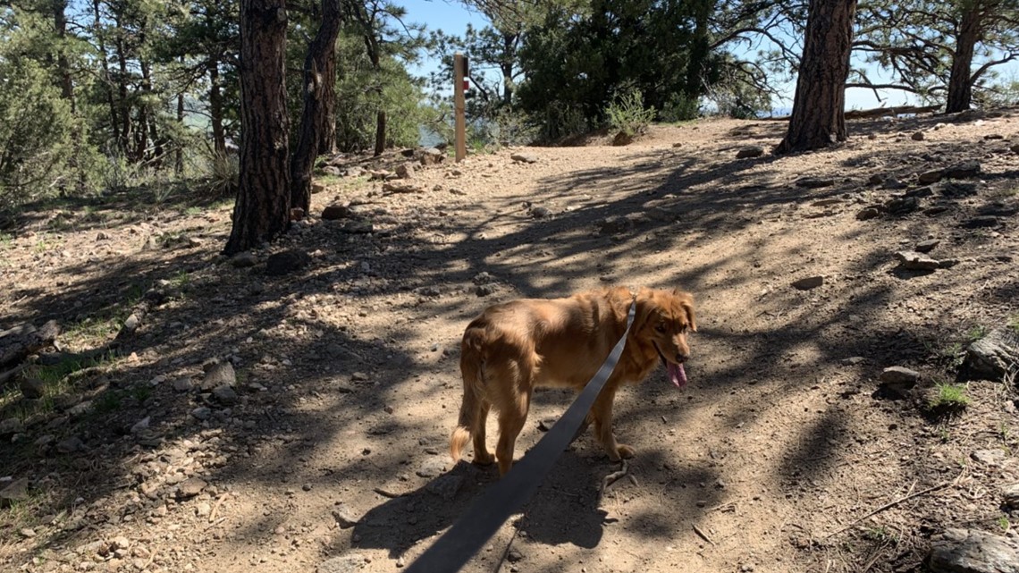
We want these public lands to be around for a long time. That means leave no trace (pick up after your trash and clean up after your dog) and be courteous to other trail users. If it's muddy, consider going another day, and if you do encounter mud, walk through it and not around it.
Summit loop of Green Mountain
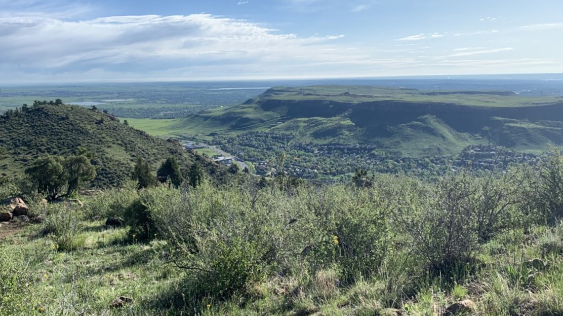
Green Mountain may be Lakewood's most famous landmark — other than Casa Bonita — and it also happens to be one of the closest places to the city to see some wildflowers.
For nothing but singletrack, park on the Alameda Avenue side and head up the Green Mountain Trail for 1.1 miles. This will account for most of you climbing.
From there, follow the summit loop trail for two miles and wind through wildflowers and catch the view of downtown Denver and Golden.
At the end of the Summit Loop you'll hit the service road and can tag the summit itself and then continue back to the radio towers and the trail down.
If you're looking to make a circle trip, the Hayden Trail will also bring you back to the trailhead and is slightly longer, but less traveled. This hike is around 5.4 miles.
Mount Galbraith
Mount Galbraith is a pedestrian-only park that's about a mile up Golden Gate Canyon Road. The main loop is about 4.4 miles and has a decent amount of vertical gain.
There are incredible views of downtown and South and North Table Mountains, which are often lush and green. Then, there are the wildflowers themselves, which bloom along the trail on the mountainside.

From the main parking lot, take the Cedar Gulch Trail 1.3 miles up to the Mount Galbraith Loop. This 1.6 mile trail winds around the mountain, and it's a fun descent back to the trailhead via Cedar Gulch.
South Table Mountain
It seems like North Table gets all the love, but I'm a big fan of her less-traveled sister.
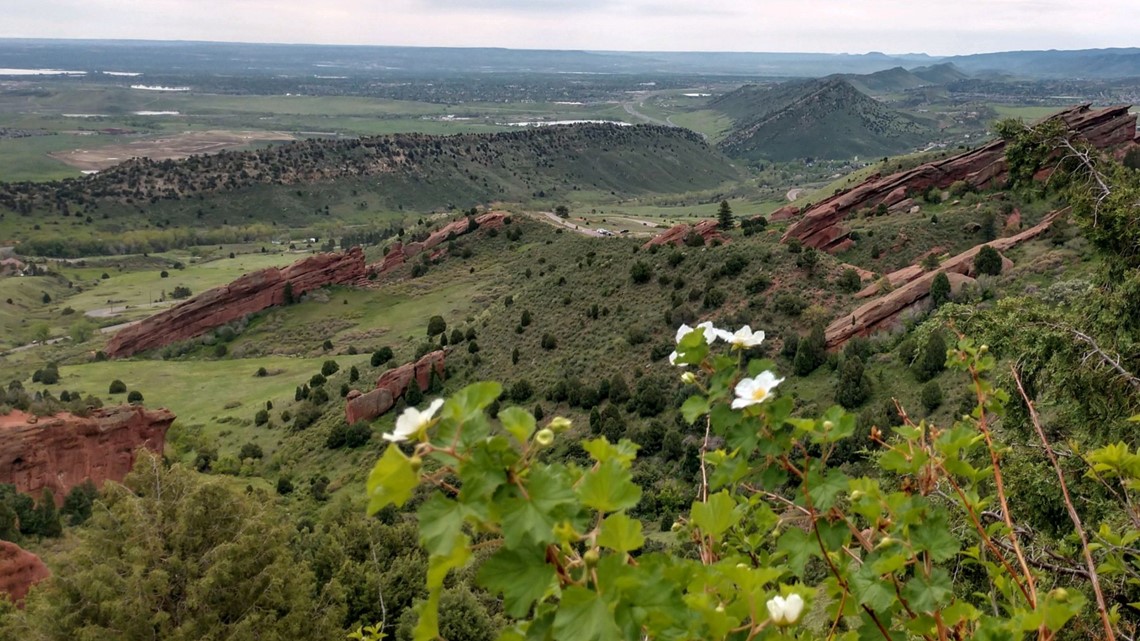
Park at the Golden Hills Access area and then take the Fossil Trail to the Serpentine Trail to connect to Dome Flow. The winding singletrack will take you through wildflowers and offer views of Green Mountain.
Connect with the Old Quarry Trail and follow the singletrack to Castle Rock, where you can get a bird's eye view of Golden. Take the Old Quarry Trail back to the Fossil Trail to make it an almost circle trip.
Round trip, this hike is around five miles with only about 300 feet of elevation gain.
Apex Park and Enchanted Forest Trail
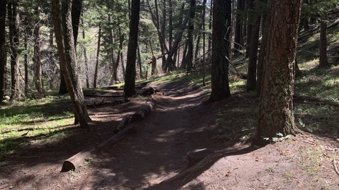
Enchanted Forest is one of my favorite stretches of trail in Colorado. It's so popular that Apex Park opens it on designated days for bikers and hikers.
There's a reason though, especially during the spring. Dare I say, it is an Enchanted Forest.
For the true wildflower experience, but a longer hike, start at the lower trailhead and work your way up the Argos trail to Pick-n-Sledge to Hard Scrabble to finally the Apex Trail, which will connect with the upper lot and also Enchanted Forest.

From there, it's a beautiful descent back down the mountain and to the parking lot, which is conveniently close to downtown Golden.
This hike is a total of seven miles, but the trail system is built so you can make it longer or shorter, depending on your preference.
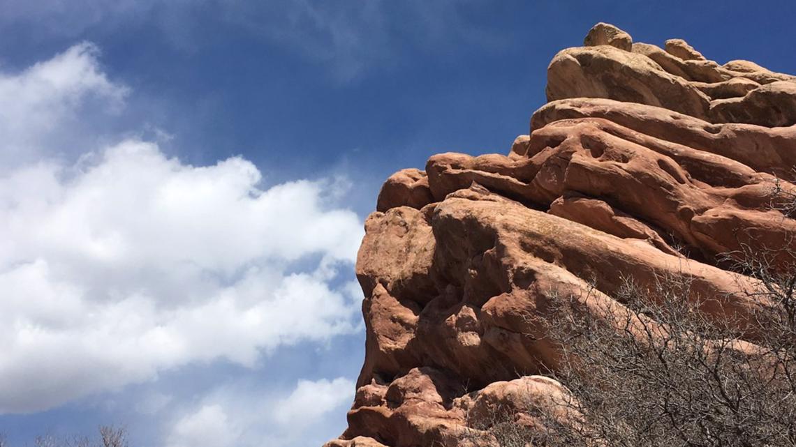
Morrison Slide Trail to Red Rocks at Matthews/Winters Park
This trail is among the most popular on the Front Range, but there's a reason for it.
Start at the main parking lot and take the Village Walk trail about a half mile to the Red Rocks Trail, which will connect with the Cherry Gulch Trail in 0.4 miles.
From here, turn right onto the Cherry Gulch Trail, and after a brief drop into a creek bottom, you'll hit the Morrison Slide Trail and climb around 500 feet onto a hilltop where you're afforded a cool view of the Hogback and some lush wildflower scenery.

The descent down the hill into the Red Rocks is one of the coolest at the park. Cut left on the Red Rocks Trail and climb up some red rocks and descent slightly back to Morrison Slide. There's an option to extend the hike a little and stay on the Red Rocks trail, which will dip down into the valley before returning to the trail back to the trailhead.
This is around five miles roundtrip, and definitely one to try and complete early to avoid the crowds.
Mount Falcon and Turkey Trot Trail
If you haven't been there, just take my word: Mount Falcon is a classic.
If you don't feel like making a 2,000-foot climb, park at the upper trailhead (near Indian Hills off US 285) and take the short hike to the Castle.
Nearby, you can also find trails that wind through the meadows and offer gorgeous views of metro Denver.

If you're feeling extra energetic, start near Morrison and take the hiker-only Turkey Trot trail 1.7 miles up to where it connects to the Castle Trail. From there, it's another 1.6 miles and another thousand feel of climb to the Castle and other upper trails including the cornerstone for what could have been the summer White House.
South Valley Park
This is a popular trail and there's a reason for it, especially during wildflower season. It's also a little bit easier than the other options.
This park has dramatic red outcroppings and plenty of scenery to accompany the flowers.

For an easy threeish mile hike, park at the north trailhead and take the 0.8 mile Swallow Hill trail to the Prairie Falcon Trail, where you'll connect with the Coyote Song Trail, which you can take to the south trailhead.
From here, it's possible to link up with the Deer Creek Canyon Trails, but if you aren't feeling it, turn around and hop on the Coyote Song Trail, which will run parallel to how you came in and has slightly more elevation gain.
It's a brief downhill back to the trailhead.
White Ranch Park
White Ranch Open Space is the largest in Jefferson County's system, which means there are a wide variety of trails to check out.
For a roughly 4.5 mile hike, park at the lower lot and take the Belcher Hill Trail 1.8 miles up to the Lower Longhorn Trail. From here, it's 1.1 miles of winding and downhill singletrack to the Whippletree Trail, which will connect you back to Belcher Hill and the trailhead.
White Ranch is huge and has plenty of climbing, if you're looking for some cardio with your wildflowers, and it's really choose-your-own adventure.
Elk Meadow Loop
The four-mile Elk Meadow Loop winds through a beautiful and relatively flat stretch of the foothills. This loop involves taking the Meadow View Trail through a combination of meadows (hence the names) and a forested area that provides some welcome shade.
If you're feeling energetic, take the 4.7 mile hike (one-way) to the top of Bergen Peak for amazing views of the Denver metro area, foothills and Mount Evans.
This is roughly a 2,100 foot climb, meaning it's quite the commitment, but it's well worth the trip, especially if you do the descent down the Long Trail and back to the Meadow View Trail.
> Top stories curated daily just for you! Sign up for the 9NEWSLETTER to get can’t-miss stories, Next and Broncos content, weather and more delivered right to your inbox.
SUGGESTED VIDEOS: Colorado Guide
MORE WAYS TO GET 9NEWS
Subscribe to our daily 9NEWSLETTER
Download the 9NEWS APP
iTunes: http://on9news.tv/itunes
Google Play: http://on9news.tv/1lWnC5n
HOW TO ADD THE 9NEWS APP TO YOUR STREAMING DEVICE
ROKU: add the channel from the ROKU store or by searching for KUSA.
For both Apple TV and Fire TV, search for "9news" to find the free app to add to your account. Another option for Fire TV is to have the app delivered directly to your Fire TV through Amazon.