
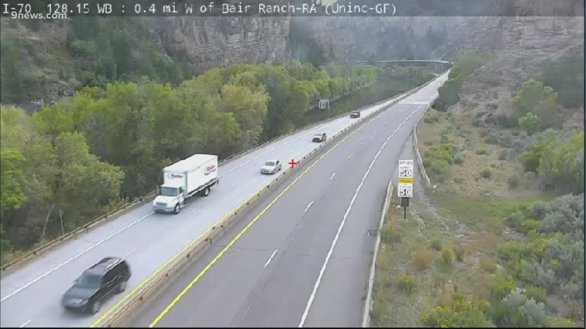
GARFIELD COUNTY, Colo. — Less than a week after Interstate 70 reopened through Glenwood Canyon, the Colorado Department of Transportation (CDOT) expects it will have to close the highway again this weekend.
There is a good chance the rain in the forecast on the Western Slope could lead to debris flows or mudslides onto I-70. The United States Geological Survey (USGS) estimated only 0.2 inches of rainfall in 15 minutes is needed to trigger a slide in Glenwood Canyon.
Forecasters with the Grizzly Creek Fire predict some areas could receive over one-quarter of an inch of rain.
"We are prepared," CDOT spokesperson Elise Thatcher said. "We have personnel on standby if we do have a forecast that's looking like it will cause the mudslide or debris flow."
CDOT reopened I-70 on Monday after a two-week closure because of the Grizzly Creek Fire. USGS teams have been studying how the fire changed the terrain in Glenwood Canyon. Hydrologist Jason Kean explained the fire made the soil more like a parking lot than a sponge. Kean said water will flow right over it, likely picking up other rocks and debris on the way, instead of soaking into the earth.
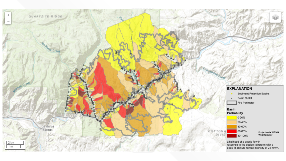
The federal geologists mapped out where a debris flow is most likely in Glenwood Canyon. They found there's an 80-100% chance of a debris flow happening in areas on the south side of the canyon.

If the National Weather Service gives a warning, CDOT plans to put a safety closure in place between Glenwood Springs and Dotsero. Officials will have two hours to evacuate everyone from the canyon.
The safety closure could last anywhere from a few minutes to a few hours. Drivers will be asked to take US 285 and US 50 instead.
With closures likely, CDOT wants drivers to be prepared.
"We know that a lot of folks are excited to see what it looks like, or sad to see what it looks like after a fire," Thatcher said. "If you are going to make the drive please plan for weather. Make sure you have an alternate route. And drive through the canyon with a friend or family member, safely of course with COVID restrictions."
CDOT also urges drivers not to stop in Glenwood Canyon. Rest areas and the bike path will be closed this weekend.
"We need to make sure we can clear people out as quickly as possible, Thatcher said. "If people are at a rest stop or in the bike path they're more susceptible to rock fall or debris flow. They're literally in a place where that's more likely to happen. But also it's harder for us to evacuate people who may be on foot or in the bike path."
Kean said federal hydrologists believe the concern of slides over the Grizzly Creek burn scar will continue into next year. It's something Colorado saw following the South Canyon Fire in 1994 and the Coal Seam Fire in 2002. Mudslides and debris flows came onto the highway after both those fires.
To better track debris flows, USGS will install new technology next week on four existing sensors that monitor water levels along the Colorado River.
Kean said there is also a push to increase the number of sensors to get a better sense of when the NWS should issue a warning.
SUGGESTED VIDEOS: Colorado wildfires